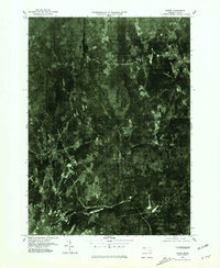
1975 Map of Barre
USGS Topo · Published 1981About this map
Ware River and the winding Burnshirt River define the wooded landscape of central Massachusetts in this orthophotoquad. The imagery reveals the distinct industrial and residential patterns of South Barre and Barre, where the built environment meets the dense forest cover typical of the region in the mid-1970s. The aerial perspective provides a clear view of the clearing patterns for agricultural land and the expansion of residential clusters around the established town centers.
Find a feature on this map
5 named features on this map. Tap any name to fly to it.
Don’t see what you’re looking for? This feature index may not catch every label — zoom into the map to look around manually.
Map Details
Editions of this 1975 Barre Map
This is the sole edition of this map. No revisions or reprints were ever made.
Other maps of this area

1885 · Worcester
USGS Topo · 1:62,500

1886 · Worcester
USGS Topo · 1:62,500

1887 · Winchendon
USGS Topo · 1:62,500

1887 · Barre
USGS Topo · 1:62,500

1887 · Fitchburg
USGS Topo · 1:62,500

1889 · Fitchburg
USGS Topo · 1:62,500

1889 · Barre
USGS Topo · 1:62,500

1890 · Winchendon
USGS Topo · 1:62,500

1892 · Worcester
USGS Topo · 1:62,500

1893 · Fitchburg
USGS Topo · 1:62,500