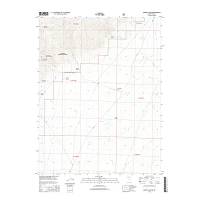
2014 Map of Barrett Canyon
USGS Topo · Published 2014About this map
Toiyabe National Forest encompasses the western elevations of this region, where the Shoshone Mountains rise sharply above the high desert floor. The landscape is defined by a series of dramatic drainages, including North Fork Barrett Canyon and South Fork Barrett Canyon, which cut through the mountain front towards the valley below. This 2014 survey documents a rugged and sparsely populated portion of Nye County, where the hydrological pattern is dictated by intermittent flows such as Becker Cr and Meadow Cr.
Find a feature on this map
28 named features on this map. Tap any name to fly to it.
Don’t see what you’re looking for? This feature index may not catch every label — zoom into the map to look around manually.
Map Details
Editions of this 2014 Barrett Canyon Map
This is the sole edition of this map. No revisions or reprints were ever made.
Other maps of this area

1907 · Tonopah
USGS Topo · 1:250,000

1908 · Tonopah
USGS Topo · 1:250,000

1948 · Ione
USGS Topo · 1:62,500

1950 · Ione
USGS Topo · 1:62,500

1955 · Millett
USGS Topo · 1:250,000

1956 · South Shoshone Peak
USGS Topo · 1:62,500

1956 · North Shoshone Peak
USGS Topo · 1:62,500

1956 · Tonopah
USGS Topo · 1:250,000

1959 · Tonopah
USGS Topo · 1:250,000

1959 · Millett
USGS Topo · 1:250,000