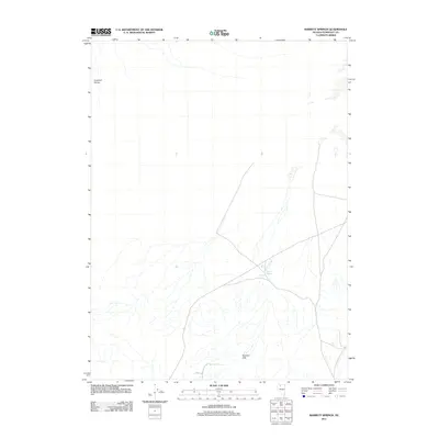
2011 Map of Barrett Springs
USGS Topo · Published 2011About this map
Barrett Springs serves as a vital water source in this arid stretch of Humboldt County, marking a localized intersection of roads and drainage patterns. The landscape is defined by its topographic extremes, transitioning from the shifting Crescent Dunes in the northwest to the elevated terrain of the Tenmile Hills in the south. This 2011 survey documents a sparsely populated region where survival and travel historically depended on known water points. A network of local roads and unimproved paths weaves through the basins, illustrating how modern transportation follows the natural contours and ancient routes established between these significant landmarks.
Find a feature on this map
3 named features on this map. Tap any name to fly to it.
Don’t see what you’re looking for? This feature index may not catch every label — zoom into the map to look around manually.
Map Details
Editions of this 2011 Barrett Springs Map
This is the sole edition of this map. No revisions or reprints were ever made.
Other maps of this area

1882 · Paradise
USGS Topo · 1:250,000

1886 · Disaster
USGS Topo · 1:250,000

1893 · Paradise
USGS Topo · 1:250,000

1893 · Disaster
USGS Topo · 1:250,000

1931 · Lovelock
USGS Topo · 1:250,000

1932 · Sonoma Range
USGS Topo · 1:250,000

1935 · Lovelock
USGS Topo · 1:250,000

1939 · Sonoma Range
USGS Topo · 1:250,000

1954 · Vya
USGS Topo · 1:250,000

1955 · McDermitt
USGS Topo · 1:250,000