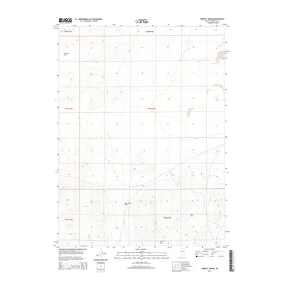
2015 Map of Barrett Springs
USGS Topo · Published 2015About this map
Barrett Springs serves as a lone water point in the high desert landscape of Humboldt County, positioned between the rising terrain of the north and the valley floor. The geography is dominated by the wide expanse of the Silver State Valley, which transitions into the rolling elevations of the Krum Hills and Tenmile Hills to the south. In the northwest corner, the Crescent Dunes present a distinct geological feature, indicating active sand movement within this arid basin. This 2015 survey reveals the vast, open character of the Great Basin, where land is primarily organized by township and range lines across a mostly unpopulated terrain, with few developments aside from the essential water source that gives the area its name.
Find a feature on this map
11 named features on this map. Tap any name to fly to it.
Don’t see what you’re looking for? This feature index may not catch every label — zoom into the map to look around manually.
Map Details
Editions of this 2015 Barrett Springs Map
This is the sole edition of this map. No revisions or reprints were ever made.
Other maps of this area

1882 · Paradise
USGS Topo · 1:250,000

1886 · Disaster
USGS Topo · 1:250,000

1893 · Paradise
USGS Topo · 1:250,000

1893 · Disaster
USGS Topo · 1:250,000

1931 · Lovelock
USGS Topo · 1:250,000

1932 · Sonoma Range
USGS Topo · 1:250,000

1935 · Lovelock
USGS Topo · 1:250,000

1939 · Sonoma Range
USGS Topo · 1:250,000

1954 · Vya
USGS Topo · 1:250,000

1955 · McDermitt
USGS Topo · 1:250,000