Loading...
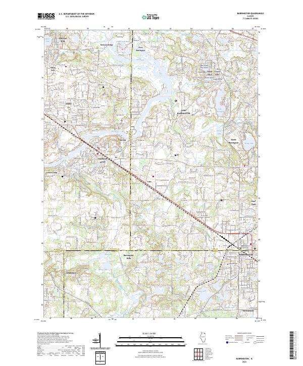
Loading map...2024 Map of Barrington
USGS Topo · Published 2024About this map
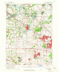
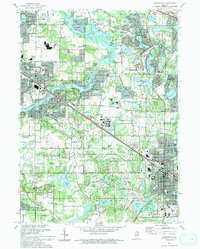
The Fox River carves a path through this landscape, defining the character of communities like Port Barrington and Fox River Grove. The area is a mosaic of conservation and residential development, evidenced by the numerous named water bodies such as Grassy Lake, Honey Lake, and Silver Lake. The transit infrastructure of the Metra rail line links the established centers of Cary and Barrington, supporting the region's long-standing role as a suburban corridor.
Find a feature on this map
64 named features on this map. Tap any name to fly to it.
Don’t see what you’re looking for? This feature index may not catch every label — zoom into the map to look around manually.
Map Details
Date Portrayed2024
Date Published2024
PublisherU.S. Geological Survey
Map TypeTopographic
Scale1:24000
Physical Dimensions24 x 29 inches
Editions of this 2024 Barrington Map
This is the sole edition of this map. No revisions or reprints were ever made.
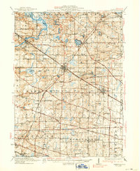
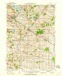
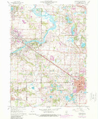
Historical Maps of Rawson Bridge Through Time
6 maps found
Featured Locations
Source Details
SourceU.S. Geological Survey
CopyrightPublic Domain