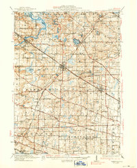
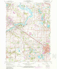
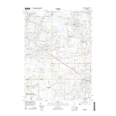
1923 Map of Barrington
USGS Topo · Published 1938About this map
Lake Zurich and the village of Barrington serve as central hubs in this early twentieth-century survey of the Illinois lake country and rural townships. The landscape is defined by a dense network of country schoolhouses like Lageschulte School and Archer School, alongside religious landmarks such as the Bohemian Church and St Johns Church. The transition from agrarian life to the burgeoning suburban and recreational era is evident in the sprawling Cook County Forest Preserve and seasonal locations like Camp Reinberg.
Find a feature on this map
99 named features on this map. Tap any name to fly to it.
Don’t see what you’re looking for? This feature index may not catch every label — zoom into the map to look around manually.
Map Details
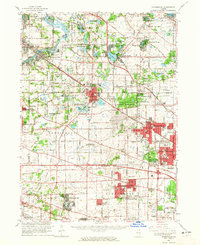
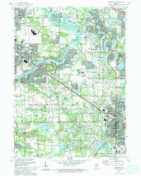
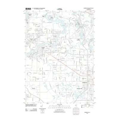
Editions of this 1923 Barrington Map
4 editions found

Historical Maps of Elgin Through Time
10 maps found
1923 Barrington
Cook County, IL
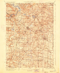
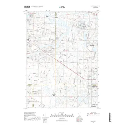
1935 Barrington
Cook County, IL
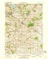
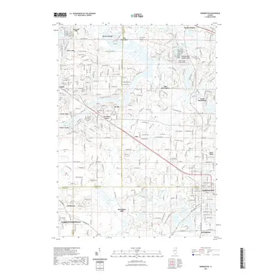
1960 Barrington
Cook County, IL
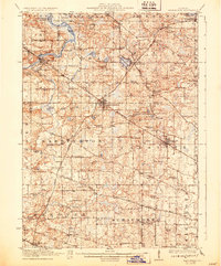
1961 Barrington
Cook County, IL
1993 Barrington
Cook County, IL
2012 Barrington
Cook County, IL
2015 Barrington
Cook County, IL
2018 Barrington
Cook County, IL
2021 Barrington
Cook County, IL
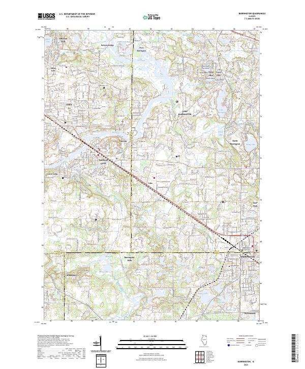
2024 Barrington
Cook County, IL
Featured Locations
- Arlington Heights, IL
- Hoffman Estates, IL
- Elgin, IL
- Schaumburg, Schaumburg Township
- Palatine, Palatine Township