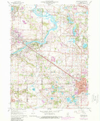
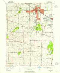
1960 Map of Barrington
USGS Topo · Published 1981About this map
The Fox River and its accompanying Fox River Valley dominate the northwestern landscape of this Cook and Lake County region during the mid-century. Early suburban expansion is visible in the growing footprints of Barrington, Cary, and Fox River Grove, while the southern reaches remain more open within the Spring Creek Valley Forest Preserve. The map illustrates a transition from agricultural roots to a recreational and residential corridor, evidenced by numerous private golf courses and small lakes like Lake Barrington and Honey Lake.
Find a feature on this map
64 named features on this map. Tap any name to fly to it.
Don’t see what you’re looking for? This feature index may not catch every label — zoom into the map to look around manually.
Map Details
Editions of this 1960 Barrington Map
4 editions found
Other maps of this area

1920 · Grays Lake
USGS Topo · 1:62,500

1923 · Grays Lake
USGS Topo · 1:62,500

1923 · Barrington
USGS Topo · 1:62,500

1925 · Elgin
USGS Topo · 1:62,500

1926 · Mc Henry
USGS Topo · 1:62,500

1935 · Barrington
USGS Topo · 1:62,500

1940 · Elgin
USGS Topo · 1:62,500

1944 · McHenry
USGS Topo · 1:62,500
1953 · Palatine
USGS Topo · 1:24,000

1954 · Rockford
USGS Topo · 1:250,000