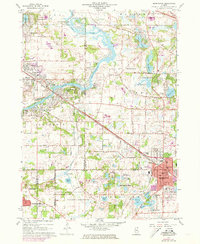
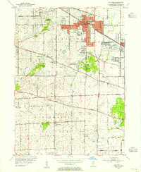
1960 Map of Barrington
USGS Topo · Published 1973About this map
Fox River meanders through this landscape, defining the boundaries of four Illinois counties and a cluster of burgeoning suburban communities. By the early 1970s, the area showed significant development along the Chicago and North Western corridor, particularly in the village of Barrington. The terrain is characterized by a dense concentration of glacial lakes and wetlands, from the large Lake Barrington and Tower Lake in the north to the smaller Goose Lake and Baker Lake further south.
Find a feature on this map
91 named features on this map. Tap any name to fly to it.
Don’t see what you’re looking for? This feature index may not catch every label — zoom into the map to look around manually.
Map Details
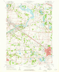
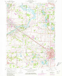
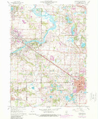
Editions of this 1960 Barrington Map
4 editions found
Other maps of this area

1920 · Grays Lake
USGS Topo · 1:62,500

1923 · Grays Lake
USGS Topo · 1:62,500

1923 · Barrington
USGS Topo · 1:62,500

1925 · Elgin
USGS Topo · 1:62,500

1926 · Mc Henry
USGS Topo · 1:62,500

1935 · Barrington
USGS Topo · 1:62,500

1940 · Elgin
USGS Topo · 1:62,500

1944 · McHenry
USGS Topo · 1:62,500
1953 · Palatine
USGS Topo · 1:24,000

1954 · Rockford
USGS Topo · 1:250,000