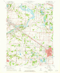
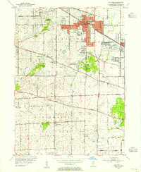
1960 Map of Barrington
USGS Topo · Published 1962About this map
The Fox River carves a winding path through this corner of northern Illinois, anchoring a landscape that, by the early 1960s, was defined by its sprawling residential developments and numerous private lakes. Settlements like Fox River Grove, Cary, and North Barrington illustrate the suburban growth of the era, while the Chicago and North Western railway provided the vital transit link to the greater metropolitan region. The map captures a transition where the agricultural roots of Algonquin and Cuba townships were increasingly giving way to leisure-oriented communities, evidenced by the Biltmore Country Club and the Cary Country Club.
Find a feature on this map
73 named features on this map. Tap any name to fly to it.
Don’t see what you’re looking for? This feature index may not catch every label — zoom into the map to look around manually.
Map Details
Editions of this 1960 Barrington Map
4 editions found
Other maps of this area

1920 · Grays Lake
USGS Topo · 1:62,500

1923 · Grays Lake
USGS Topo · 1:62,500

1923 · Barrington
USGS Topo · 1:62,500

1925 · Elgin
USGS Topo · 1:62,500

1926 · Mc Henry
USGS Topo · 1:62,500

1935 · Barrington
USGS Topo · 1:62,500

1940 · Elgin
USGS Topo · 1:62,500

1944 · McHenry
USGS Topo · 1:62,500
1953 · Palatine
USGS Topo · 1:24,000

1954 · Rockford
USGS Topo · 1:250,000