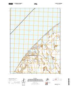
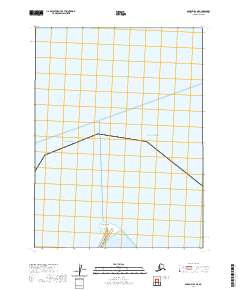
2020 Map of Barrow B-4 SW
USGS Topo · Published 2020About this map
Utqiaġvik and Browerville represent the northernmost urban settlements in the United States, positioned along the edge of the Chukchi Sea. The landscape is a complex network of coastal lagoons and arctic tundra, where the Wiley Post-Will Rogers Memorial Airport and the Utqiaġvik Courthouse serve as vital infrastructure for the North Slope Borough. Education and community life center around Ilisagvik College and local landmarks like Cape Smyth.
Find a feature on this map
78 named features on this map. Tap any name to fly to it.
Don’t see what you’re looking for? This feature index may not catch every label — zoom into the map to look around manually.
Map Details
Editions of this 2020 Barrow B-4 SW Map
This is the sole edition of this map. No revisions or reprints were ever made.
Other maps of this area

1945 · Barrow
USGS Topo · 1:250,000

1949 · Barrow
USGS Topo · 1:250,000

1955 · Barrow
USGS Topo · 1:250,000

1955 · Barrow B-4
USGS Topo · 1:63,360

1955 · Barrow A-4
USGS Topo · 1:63,360

1955 · Barrow A-5
USGS Topo · 1:63,360
1962 · Barrow B-4
USGS Topo · 1:50,000
1962 · Barrow A-4
USGS Topo · 1:50,000
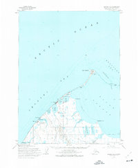
1973 · Barrow B-4
USGS Topo · 1:63,360
2020 · Barrow B-4 NE
USGS Topo · 1:25,000