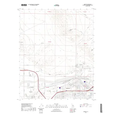
2018 Map of Barstow
USGS Topo · Published 2018About this map
The Mojave River cuts through this high-desert landscape, defining the development of Barstow and its neighboring communities. This 2018 survey illustrates the urban expansion of Barstow alongside established settlements like Lenwood, Grandview, and Hutt. The map shows a modern infrastructure of interstate highways and rail corridors that parallel the historic path of Old Hwy 58, reflecting the area's enduring role as a transportation hub in the Mojave Desert.
Find a feature on this map
116 named features on this map. Tap any name to fly to it.
Don’t see what you’re looking for? This feature index may not catch every label — zoom into the map to look around manually.
Map Details
Editions of this 2018 Barstow Map
This is the sole edition of this map. No revisions or reprints were ever made.
Other maps of this area

1915 · Searles Lake
USGS Topo · 1:250,000

1932 · Barstow
USGS Topo · 1:125,000

1933 · Avawatz Mountains
USGS Topo · 1:250,000

1934 · Barstow
USGS Topo · 1:125,000

1947 · Trona
USGS Topo · 1:250,000

1948 · Trona
USGS Topo · 1:250,000

1948 · Lane Mountain
USGS Topo · 1:62,500

1951 · Lane Mountain
USGS Topo · 1:62,500

1953 · San Bernardino
USGS Topo · 1:250,000

1953 · Trona
USGS Topo · 1:250,000