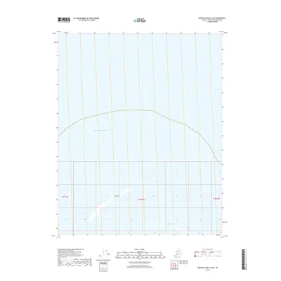
2018 Map of Barter Island A-4 NW
USGS Topo · Published 2018About this map
The Beaufort Sea coastline along the North Slope is defined by shifting barrier landforms and maritime passages in this 2018 survey. The map highlights the narrow Jago Spit, a prominent coastal feature that partially shelters the inner waters from the open sea. Nearby, the navigable Jago Entrance and Tapkaurak Entrance provide critical access points through the barrier system, reflecting the dynamic nature of this Arctic shoreline. The land is strictly organized by the Public Land Survey System, as evidenced by the boundaries of t9n r34e, t9n r35e, and t9n r36e. This data provides a detailed look at the interface between the Alaskan tundra and the sea before more recent coastal erosion began to significantly alter these landforms.
Find a feature on this map
7 named features on this map. Tap any name to fly to it.
Don’t see what you’re looking for? This feature index may not catch every label — zoom into the map to look around manually.
Map Details
Editions of this 2018 Barter Island A-4 NW Map
This is the sole edition of this map. No revisions or reprints were ever made.
Other maps of this area

1951 · Barter Island
USGS Topo · 1:250,000

1955 · Barter Island A-5
USGS Topo · 1:63,360

1955 · Barter Island A-4
USGS Topo · 1:63,360

1959 · Barter Island
USGS Topo · 1:250,000
1964 · Barter Island
USGS Topo · 1:250,000
2018 · Barter Island A-4 SE
USGS Topo · 1:25,000
2018 · Barter Island A-5 NE
USGS Topo · 1:25,000
2018 · Barter Island A-5 SE
USGS Topo · 1:25,000
2018 · Barter Island A-4 SW
USGS Topo · 1:25,000
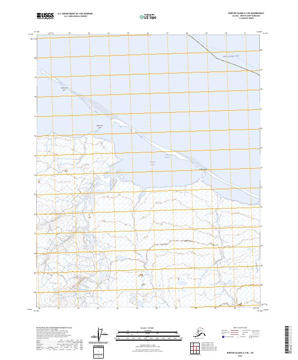
2024 · Barter Island A-4 SE
USGS Topo · 1:25,000