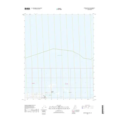
2018 Map of Barter Island A-5 NE
USGS Topo · Published 2018About this map
The Barter Island Long Range Radar Site serves as a prominent landmark on the northern coast of Alaska, positioned along the edge of the Beaufort Sea. This 2018 survey detail provides a clear view of the island's infrastructure, where Airport Road and Barter Avenue connect the installation to the surrounding landscape. The coastal geography is defined by a series of narrow landforms and sheltered waters, including Bernard Spit and the protected area of Bernard Harbor. Further east, the Jago Entrance and Nelsaluk Pass illustrate the complex shoreline of this Arctic region. Local streets such as Pipsuk Street and the Landfill Access Road trace the limited land-based transit routes, while Pipsuk Bight and Pipsuk Point mark the interface between the tundra and the sea.
Find a feature on this map
15 named features on this map. Tap any name to fly to it.
Don’t see what you’re looking for? This feature index may not catch every label — zoom into the map to look around manually.
Map Details
Editions of this 2018 Barter Island A-5 NE Map
This is the sole edition of this map. No revisions or reprints were ever made.
Other maps of this area

1951 · Barter Island
USGS Topo · 1:250,000

1955 · Barter Island A-5
USGS Topo · 1:63,360

1955 · Barter Island A-4
USGS Topo · 1:63,360

1959 · Barter Island
USGS Topo · 1:250,000
1964 · Barter Island
USGS Topo · 1:250,000
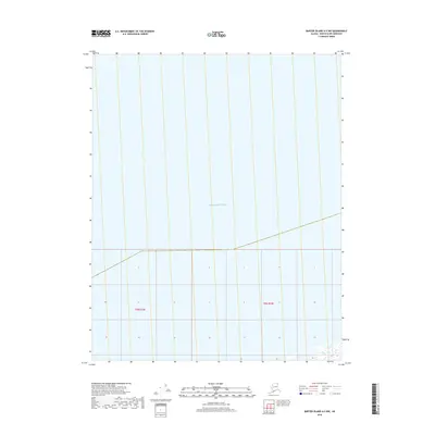
2018 · Barter Island A-5 NW
USGS Topo · 1:25,000
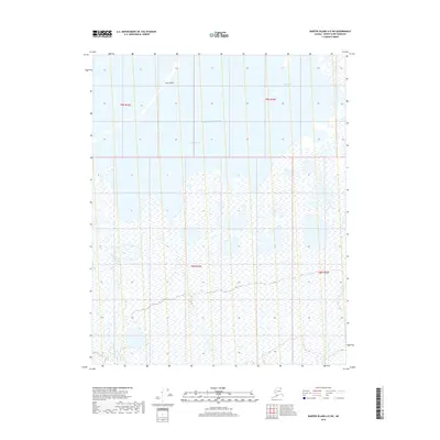
2018 · Barter Island A-5 SW
USGS Topo · 1:25,000
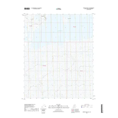
2018 · Barter Island A-5 SE
USGS Topo · 1:25,000
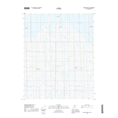
2018 · Barter Island A-4 SW
USGS Topo · 1:25,000
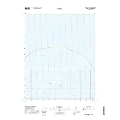
2018 · Barter Island A-4 NW
USGS Topo · 1:25,000