
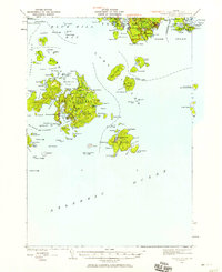
1981 Map of Bartlett Island
USGS Topo · Published 1982About this map
Bartlett Island and the rugged coastal reaches of Blue Hill Bay dominate this early 1980s coastal survey. The map details a landscape where the Atlantic meets the dense woods of Acadia National Park, revealing a network of small settlements such as Seal Cove, Pretty Marsh, and the inland enclave of Kelleytown. The maritime character of the area is evident in the numerous islands, including Tinker Island and Hardwood Island, and protected waters like Eastern Passage and Pretty Marsh Harbor.
Find a feature on this map
96 named features on this map. Tap any name to fly to it.
Don’t see what you’re looking for? This feature index may not catch every label — zoom into the map to look around manually.
Map Details
Editions of this 1981 Bartlett Island Map
This is the sole edition of this map. No revisions or reprints were ever made.
Other maps of this area

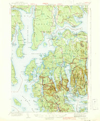
1904 · Deer Isle
USGS Topo · 1:62,500

1904 · Mount Desert
USGS Topo · 1:62,500

1904 · Swan Island
USGS Topo · 1:62,500

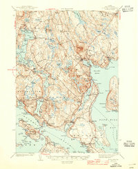
1904 · Bluehill
USGS Topo · 1:62,500

1905 · Penobscot Bay
USGS Topo · 1:125,000
1942 · Mount Desert
USGS Topo · 1:62,500
1942 · Deer Isle
USGS Topo · 1:62,500
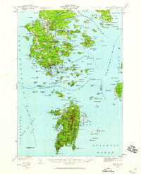
1943 · Swans Island
USGS Topo · 1:62,500
1944 · Blue Hill
USGS Topo · 1:62,500

1944 · Deer Isle
USGS Topo · 1:62,500