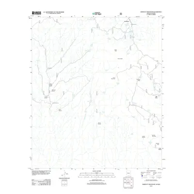
2012 Map of Bartlett Mountain
USGS Topo · Published 2012About this map
Oro Blanco and its namesake ranch anchor this rugged Arizona landscape, where high-desert ranching and historic mineral interests shaped the terrain. Significant water features like the Oro Blanco Reservoir and dozens of springs—such as Yanks Spring and Grapevine Spring—support the isolated settlements and cattle operations of the region. The map reveals the intricate network of canyons and peaks along Cobre Ridge, including Cobre Mountain and Black Peak. Local history is rooted in the small communities and ranches like Old Glory, Cañoncito, and Tres Bellotas Ranch. Genealogists may find value in the location of El Oro Cem and Cemetery Tank, providing specific spatial evidence of the families and workers who once populated this borderlands district near Casa Piedra and Sentinel Peak.
Find a feature on this map
52 named features on this map. Tap any name to fly to it.
Don’t see what you’re looking for? This feature index may not catch every label — zoom into the map to look around manually.
Map Details
Editions of this 2012 Bartlett Mountain Map
This is the sole edition of this map. No revisions or reprints were ever made.
Other maps of this area

1920 · Arivaca
USGS Topo · 1:125,000

1921 · Old Glory
USGS Topo · 1:125,000

1939 · Tubac
USGS Topo · 1:62,500

1941 · Arivaca
USGS Topo · 1:62,500

1942 · Ruby
USGS Topo · 1:62,500

1942 · Oro Blanco
USGS Topo · 1:62,500

1943 · Arivaca
USGS Topo · 1:62,500

1943 · Old Glory
USGS Topo · 1:125,000

1943 · Tubac
USGS Topo · 1:62,500

1944 · Oro Blanco
USGS Topo · 1:62,500