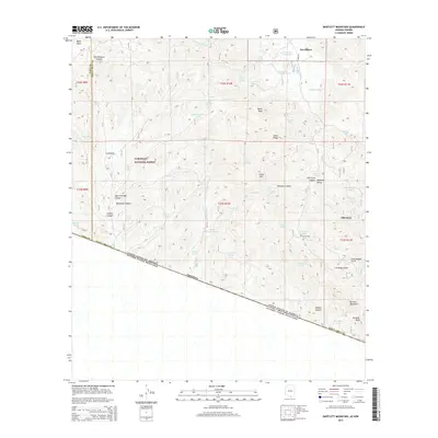
2014 Map of Bartlett Mountain
USGS Topo · Published 2014About this map
The United States of America Estados Unidos Mexicanos international border defines the southern edge of this Arizona landscape, where the high desert terrain of the Coronado National Forest meets the Mexican state of Sonora. The map documents the scattered remnants of mining-era settlements, including the historic locale of Oro Blanco and the neighboring Old Glory. These sites are linked by Ruby Rd and surrounded by a complex network of ephemeral water sources and drainage features such as Yellow Jacket Wash and Alamo Wash.
Find a feature on this map
64 named features on this map. Tap any name to fly to it.
Don’t see what you’re looking for? This feature index may not catch every label — zoom into the map to look around manually.
Map Details
Editions of this 2014 Bartlett Mountain Map
This is the sole edition of this map. No revisions or reprints were ever made.
Other maps of this area

1920 · Arivaca
USGS Topo · 1:125,000

1921 · Old Glory
USGS Topo · 1:125,000

1939 · Tubac
USGS Topo · 1:62,500

1941 · Arivaca
USGS Topo · 1:62,500

1942 · Ruby
USGS Topo · 1:62,500

1942 · Oro Blanco
USGS Topo · 1:62,500

1943 · Arivaca
USGS Topo · 1:62,500

1943 · Old Glory
USGS Topo · 1:125,000

1943 · Tubac
USGS Topo · 1:62,500

1944 · Oro Blanco
USGS Topo · 1:62,500