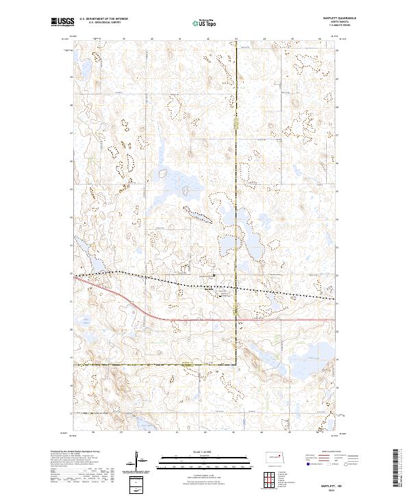
2024 Map of Bartlett
USGS Topo · Published 2024About this map
Bartlett sits at a crossroads of agriculture and conservation in this contemporary study of the Ramsey Co Nelson Co border. The landscape is heavily defined by its glacial prairie potholes and wetland management units, including the Ramsey County Waterfowl Production Area and the Rose Lake National Wildlife Refuge to the south. These protected areas are interspersed among the section lines of the Public Land Survey System, which dictate the rigid grid of local routes like Co Hwy 2 and 43rd St NE.
Find a feature on this map
36 named features on this map. Tap any name to fly to it.
Don’t see what you’re looking for? This feature index may not catch every label — zoom into the map to look around manually.
Map Details
Editions of this 2024 Bartlett Map
This is the sole edition of this map. No revisions or reprints were ever made.
Other maps of this area

1930 · Pekin
USGS Topo · 1:62,500

1930 · Hamar
USGS Topo · 1:62,500

1950 · Devils Lake Mountain
USGS Topo · 1:24,000

1951 · Pekin NE
USGS Topo · 1:24,000

1951 · Devils Lake Mountain
USGS Topo · 1:24,000

1951 · Pekin NW
USGS Topo · 1:24,000

1951 · Pekin
USGS Topo · 1:62,500

1952 · New Rockford
USGS Topo · 1:250,000

1953 · Devils Lake
USGS Topo · 1:250,000

1956 · New Rockford
USGS Topo · 1:250,000