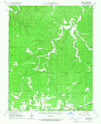
1964 Map of Bartlett
USGS Topo · Published 1966About this map
The St Louis San Francisco railroad corridor anchors this mid-century look at the Shannon County landscape, passing through the settlement of Bartlett and past a local Drive-in Theater. To the north, the terrain is defined by the sharp relief of the Mark Twain National Forest, where steep hollows like Larkin Hollow and Open Hollow drain toward the winding Jacks Fork river. This area reflects a quiet rural economy centered on the highway and rail lines, punctuated by community anchors such as the Manger of Bethlehem Ch.
Find a feature on this map
34 named features on this map. Tap any name to fly to it.
Don’t see what you’re looking for? This feature index may not catch every label — zoom into the map to look around manually.
Map Details
Editions of this 1964 Bartlett Map
3 editions found
Other maps of this area

1915 · Eminence
USGS Topo · 1:62,500

1917 · Eminence
USGS Topo · 1:62,500

1931 · Bandyville
USGS Topo · 1:48,000

1944 · Birch Tree
USGS Topo · 1:62,500

1945 · Montier
USGS Topo · 1:62,500

1946 · Summersville
USGS Topo · 1:62,500

1948 · Montier
USGS Topo · 1:62,500

1948 · Birch Tree
USGS Topo · 1:62,500

1948 · Summersville
USGS Topo · 1:62,500

1949 · Rolla
USGS Topo · 1:250,000