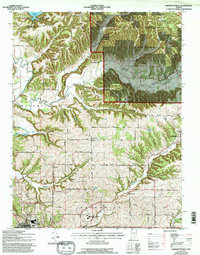
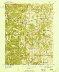
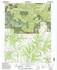
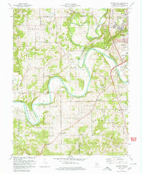
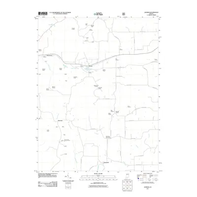
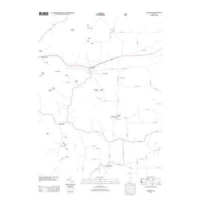
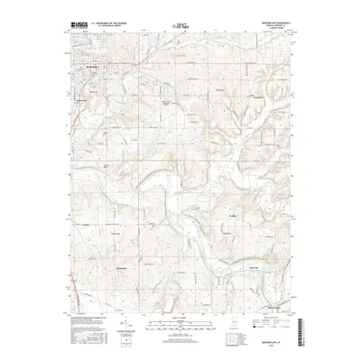
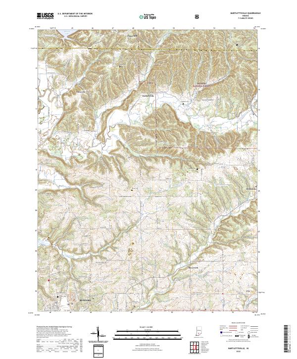
1978 Map of Bartlettsville
USGS Topo · Published 1996About this map
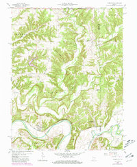
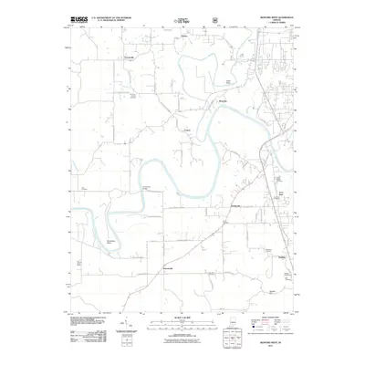
The rugged boundary between Monroe and Lawrence counties is defined by the winding course of Salt Creek as it flows south from the Monroe Reservoir. This landscape is a patchwork of small agricultural clearings and dense timber within the Hoosier National Forest. Communities such as Bartlettsville and Heltonville serve as local hubs, connected by a network of rural routes like West Road and North Road.
Find a feature on this map
40 named features on this map. Tap any name to fly to it.
Don’t see what you’re looking for? This feature index may not catch every label — zoom into the map to look around manually.
Map Details
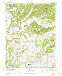
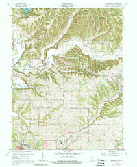
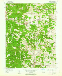
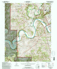
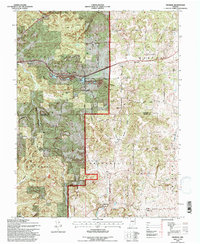
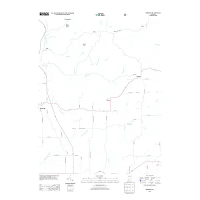
Editions of this 1978 Bartlettsville Map
3 editions found
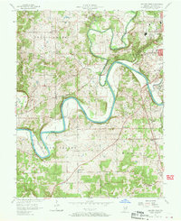
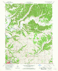
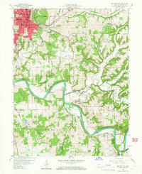
Historical Maps of Bedford Through Time
43 maps found
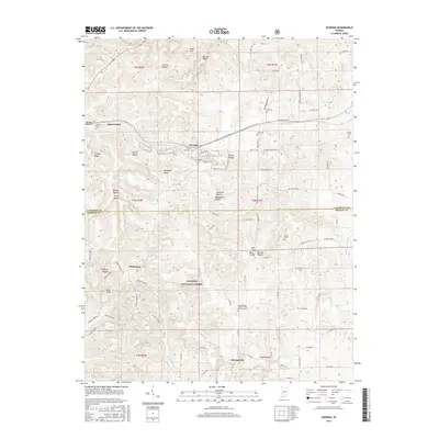
1949 Georgia
Lawrence County, IN
1951 Georgia
Lawrence County, IN
1957 Bedford West
Lawrence County, IN
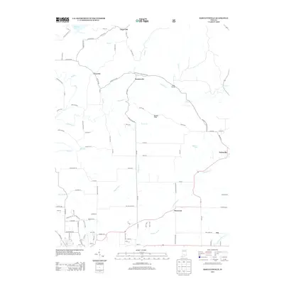
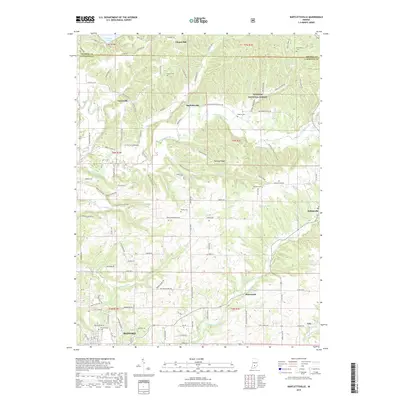
1958 Bartlettsville
Lawrence County, IN
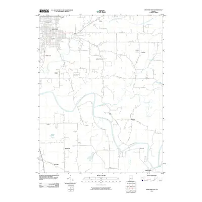
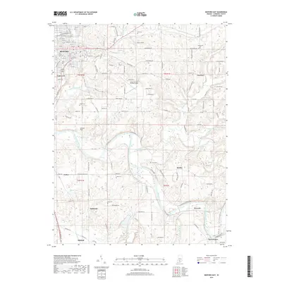
1958 Bedford East
Lawrence County, IN
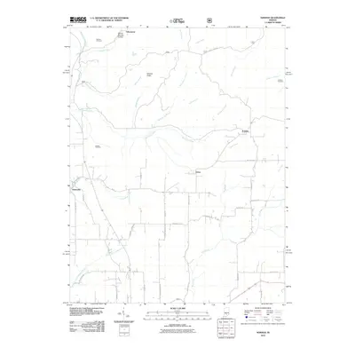
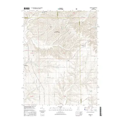
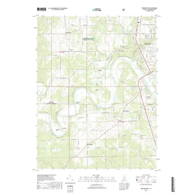
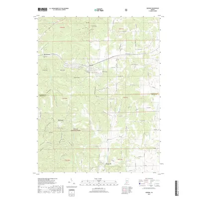
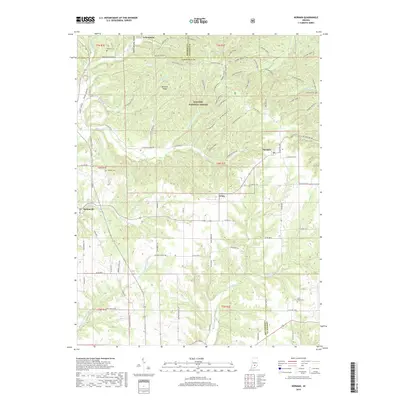
1958 Norman
Lawrence County, IN
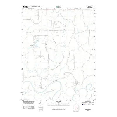
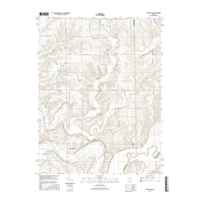
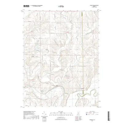
1958 Tunnelton
Lawrence County, IN
1965 Georgia
Lawrence County, IN
1978 Bartlettsville
Lawrence County, IN
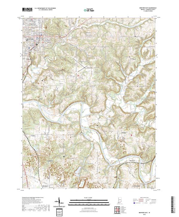
1978 Bedford East
Lawrence County, IN
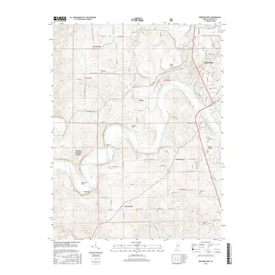
1979 Bedford West
Lawrence County, IN
1993 Bedford West
Lawrence County, IN
1993 Georgia
Lawrence County, IN
2010 Bartlettsville
Lawrence County, IN
2010 Bedford East
Lawrence County, IN
2010 Norman
Lawrence County, IN
2010 Tunnelton
Lawrence County, IN
2011 Bedford West
Lawrence County, IN
2011 Georgia
Lawrence County, IN
2013 Bartlettsville
Lawrence County, IN
2013 Bedford East
Lawrence County, IN
2013 Bedford West
Lawrence County, IN
2013 Georgia
Lawrence County, IN
2013 Norman
Lawrence County, IN
2013 Tunnelton
Lawrence County, IN
2016 Bartlettsville
Lawrence County, IN
2016 Bedford East
Lawrence County, IN
2016 Bedford West
Lawrence County, IN
2016 Georgia
Lawrence County, IN
2016 Norman
Lawrence County, IN
2016 Tunnelton
Lawrence County, IN
2019 Bartlettsville
Lawrence County, IN
2019 Bedford East
Lawrence County, IN
2019 Bedford West
Lawrence County, IN
2019 Georgia
Lawrence County, IN
2019 Norman
Lawrence County, IN
2019 Tunnelton
Lawrence County, IN
2022 Bartlettsville
Lawrence County, IN
2022 Bedford East
Lawrence County, IN
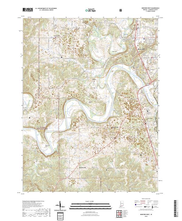
2022 Bedford West
Lawrence County, IN
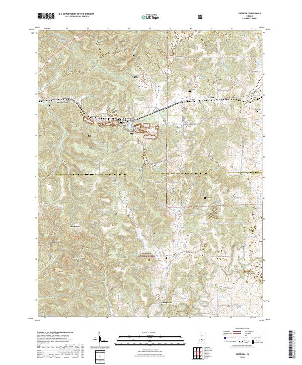
2022 Georgia
Lawrence County, IN
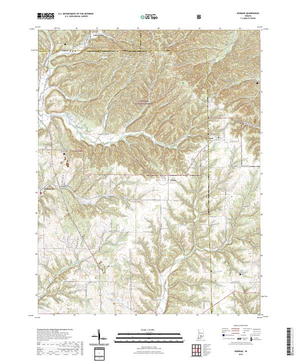
2022 Norman
Lawrence County, IN
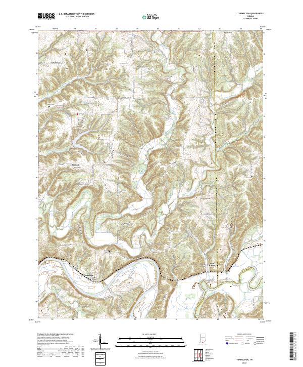
2022 Tunnelton
Lawrence County, IN