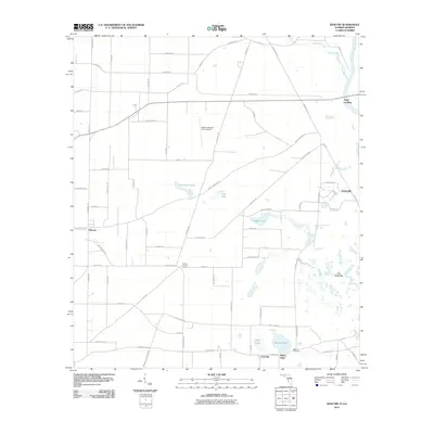
2011 Map of Bascom
USGS Topo · Published 2011About this map
Neals Landing sits at the northeastern edge of this Jackson County map, marking a transition from the agricultural plains to the Chattahoochee River corridor along the Georgia state line. The landscape is defined by a distinct hydrological pattern where the western farming acreage gives way to the marshy, pond-dotted terrain of The Flatwoods to the east. Small agrarian communities like Bascom and Lovedale are linked by a grid of rural roads, including Neals Landing Rd and Kirkland Rd, which serve local commerce and the North American Farms Airport.
Find a feature on this map
74 named features on this map. Tap any name to fly to it.
Don’t see what you’re looking for? This feature index may not catch every label — zoom into the map to look around manually.
Map Details
Editions of this 2011 Bascom Map
This is the sole edition of this map. No revisions or reprints were ever made.
Other maps of this area

1952 · Dellwood
USGS Topo · 1:24,000

1952 · Malone
USGS Topo · 1:24,000

1952 · Bascom
USGS Topo · 1:24,000

1952 · Marianna
USGS Topo · 1:24,000

1953 · Dothan
USGS Topo · 1:250,000

1954 · Dothan
USGS Topo · 1:250,000

1954 · Steam Mill
USGS Topo · 1:24,000

1954 · Tallahassee
USGS Topo · 1:250,000

1955 · Dothan
USGS Topo · 1:250,000

1955 · Fairchild
USGS Topo · 1:24,000