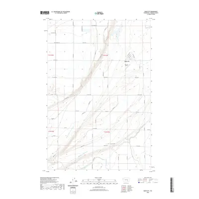
2020 Map of Basin City
USGS Topo · Published 2020About this map
Basin City serves as the central hub of this agricultural landscape in Franklin County, defined by an intricate network of irrigation and water management features. The layout of the town is clearly visible, with residential streets like Estella Dr and Loen Dr branching off Bailie Blvd. Transportation infrastructure for the region’s farming economy is highlighted by the Basin City Airfield and the nearby Dorman Field.
Find a feature on this map
56 named features on this map. Tap any name to fly to it.
Don’t see what you’re looking for? This feature index may not catch every label — zoom into the map to look around manually.
Map Details
Editions of this 2020 Basin City Map
This is the sole edition of this map. No revisions or reprints were ever made.
Other maps of this area

1917 · Pasco
USGS Topo · 1:125,000

1924 · Hanford
USGS Topo · 1:62,500

1925 · Scooteney Lake
USGS Topo · 1:62,500

1951 · Scooteney Lake
USGS Topo · 1:62,500

1951 · Richland
USGS Topo · 1:62,500

1951 · Hanford
USGS Topo · 1:62,500

1953 · Walla Walla
USGS Topo · 1:250,000

1958 · Walla Walla
USGS Topo · 1:250,000

1965 · Mesa
USGS Topo · 1:62,500

1965 · Eltopia
USGS Topo · 1:62,500