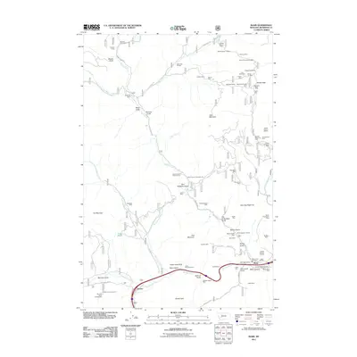
2011 Map of Basin
USGS Topo · Published 2011About this map
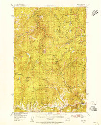
Mining operations and narrow mountain gulches dominate this part of Jefferson County, where the settlement of Basin sits along the Boulder River. This 2011 survey reveals an industrial landscape characterized by an extensive network of mineral claims, including the Bullion Mine, Moccason Mine, and the White Pine/Custer Mine. Historically significant names like Winters Camp and the Basin Post Office provide grounding for local history, while the terrain is etched by numerous drainages such as Saul Haggerty Gulch and Sullivan Gulch. The southern portion of the map is defined by the passage of the river and the Bison Creek confluence near Bernice, a transit point marked by the Interstate corridor. Higher elevations like Rocker Peak and Jack Mountain overlook a landscape shaped by decades of extraction, evidenced by features like the Jack Creek Tailings and the Klies Air Strip tucked into the high country.
Find a feature on this map
79 named features on this map. Tap any name to fly to it.
Don’t see what you’re looking for? This feature index may not catch every label — zoom into the map to look around manually.
Map Details
Editions of this 2011 Basin Map
This is the sole edition of this map. No revisions or reprints were ever made.
Other maps of this area
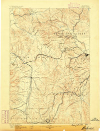
1889 · Helena
USGS Topo · 1:250,000
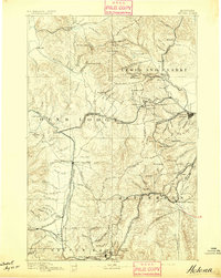
1893 · Helena
USGS Topo · 1:250,000
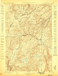
1899 · Boulder
USGS Topo · 1:125,000
1899 · Helena
USGS Topo · 1:250,000
1903 · Helena
USGS Topo · 1:250,000

1947 · Butte
USGS Topo · 1:250,000
1950 · Jefferson City
USGS Topo · 1:62,500
1954 · Elk Park
USGS Topo · 1:62,500
1954 · Basin
USGS Topo · 1:62,500
1954 · Boulder
USGS Topo · 1:62,500