
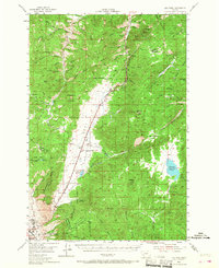
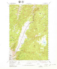
1954 Map of Elk Park
USGS Topo · Published 1956About this map
The Continental Divide winds through this 1954 topographical survey, marking the high country between the mining-heavy terrain of Butte and the meadows of Elk Park. This landscape is defined by the extraction economy of the mid-20th century, featuring several dormant operations such as the Ruby Mine, Agate Mine, and Eureka Mine. Along the southwestern edge, the urban fringe of McQueen and the landmark recreation site at Columbia Gardens provide a sharp contrast to the high peaks like Sheepshead Mountain and Whitetail Peak.
Find a feature on this map
77 named features on this map. Tap any name to fly to it.
Don’t see what you’re looking for? This feature index may not catch every label — zoom into the map to look around manually.
Map Details
Editions of this 1954 Elk Park Map
3 editions found
Other maps of this area

1889 · Helena
USGS Topo · 1:250,000

1893 · Helena
USGS Topo · 1:250,000

1893 · Dillon
USGS Topo · 1:250,000

1899 · Boulder
USGS Topo · 1:125,000

1899 · Helena
USGS Topo · 1:250,000

1903 · Helena
USGS Topo · 1:250,000

1947 · Butte
USGS Topo · 1:250,000

1950 · Jefferson City
USGS Topo · 1:62,500

1954 · Basin
USGS Topo · 1:62,500

1954 · Boulder
USGS Topo · 1:62,500