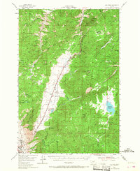
1954 Map of Elk Park
USGS Topo · Published 1968About this map
Continental Divide crests through this mountain landscape, marking the boundary between Jefferson Co and Silver Bow Co during the mid-1950s. The region is defined by a deep history of resource extraction, illustrated by the presence of the Ruby Mine, La Belle, and Busch mines, alongside the Monitor Tunnel. A significant industrial corridor follows the Great Northern Bison railroad line, which skirts the open flats of Elk Park and passes through the settlement of Woodville. This map captures a landscape transitioning from heavy mining toward recreational use, featuring the Boy Scout Camp and the expansive Columbia Gardens near the edge of East Butte. Higher elevations are punctuated by family-named landmarks and remote outposts like the Stockmens Assoc Cabin near Whitetail Creek.
Find a feature on this map
74 named features on this map. Tap any name to fly to it.
Don’t see what you’re looking for? This feature index may not catch every label — zoom into the map to look around manually.
Map Details
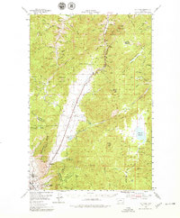
Editions of this 1954 Elk Park Map
3 editions found
Other maps of this area

1889 · Helena
USGS Topo · 1:250,000

1893 · Helena
USGS Topo · 1:250,000

1893 · Dillon
USGS Topo · 1:250,000

1899 · Boulder
USGS Topo · 1:125,000

1899 · Helena
USGS Topo · 1:250,000

1903 · Helena
USGS Topo · 1:250,000

1947 · Butte
USGS Topo · 1:250,000

1950 · Jefferson City
USGS Topo · 1:62,500

1954 · Elk Park
USGS Topo · 1:62,500

1954 · Basin
USGS Topo · 1:62,500