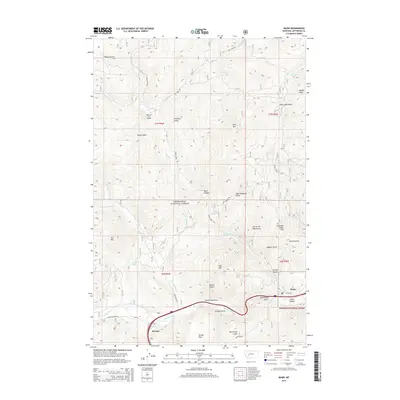
2014 Map of Basin
USGS Topo · Published 2014About this map
Basin and Bernice sit at the southern edge of this mountain landscape, positioned along the Boulder River corridor within the Deerlodge National Forest. The map reveals a complex network of canyons and gulches that speak to the area's rich prospecting and mining heritage, with evocative names like Lily of the West Gulch, Uncle Sam Gulch, and Saturday Night Hill. These features, along with Indian Head Rock, suggest a landscape deeply tied to early mineral exploration and the families who worked the local claims.
Find a feature on this map
42 named features on this map. Tap any name to fly to it.
Don’t see what you’re looking for? This feature index may not catch every label — zoom into the map to look around manually.
Map Details
Editions of this 2014 Basin Map
This is the sole edition of this map. No revisions or reprints were ever made.
Other maps of this area

1889 · Helena
USGS Topo · 1:250,000

1893 · Helena
USGS Topo · 1:250,000

1899 · Boulder
USGS Topo · 1:125,000

1899 · Helena
USGS Topo · 1:250,000

1903 · Helena
USGS Topo · 1:250,000

1947 · Butte
USGS Topo · 1:250,000

1950 · Jefferson City
USGS Topo · 1:62,500

1954 · Elk Park
USGS Topo · 1:62,500

1954 · Basin
USGS Topo · 1:62,500

1954 · Boulder
USGS Topo · 1:62,500