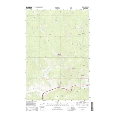
2017 Map of Basin
USGS Topo · Published 2017About this map
The Boulder River cuts a deep path through Jefferson County, anchoring the settlements of Basin and Bernice in this high-altitude landscape. Dominated by the Deerlodge National Forest, the terrain is defined by a dense network of gulches and peaks, including Rocker Peak and Jack Mtn. The transport corridors follow the natural topography, with Boulder River Rd and Frontage Rd tracing the river valley while more remote routes like Basin Creek Rd and Jack Creek Rd climb into the timbered interior.
Find a feature on this map
50 named features on this map. Tap any name to fly to it.
Don’t see what you’re looking for? This feature index may not catch every label — zoom into the map to look around manually.
Map Details
Editions of this 2017 Basin Map
This is the sole edition of this map. No revisions or reprints were ever made.
Other maps of this area

1889 · Helena
USGS Topo · 1:250,000

1893 · Helena
USGS Topo · 1:250,000

1899 · Boulder
USGS Topo · 1:125,000

1899 · Helena
USGS Topo · 1:250,000

1903 · Helena
USGS Topo · 1:250,000

1947 · Butte
USGS Topo · 1:250,000

1950 · Jefferson City
USGS Topo · 1:62,500

1954 · Elk Park
USGS Topo · 1:62,500

1954 · Basin
USGS Topo · 1:62,500

1954 · Boulder
USGS Topo · 1:62,500