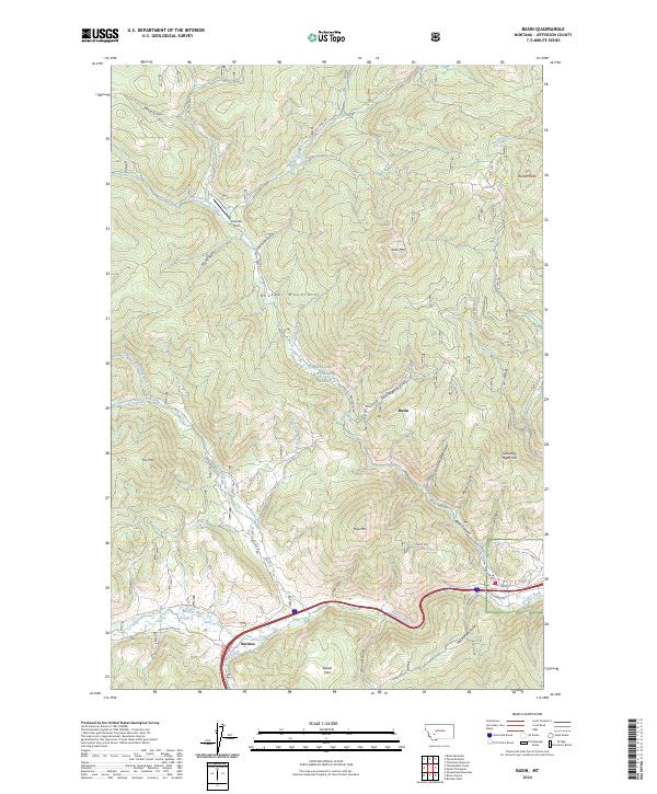
2024 Map of Basin
USGS Topo · Published 2024About this map
Basin and Bernice anchor the lower elevations of this landscape, situated along the corridor where the Boulder River meets the drainages of the Boulder Mountains. Much of the northern terrain is defined by the high ridges of the Deerlodge National Forest, where peaks like Rocker Peak and Saturday Night Hill overlook a complex network of gulches and creeks. The drainage patterns of Basin Creek and the South Fork Red Rock Creek illustrate the watershed's role in local mining and ranching history, while Swede Park and Frog Pond indicate localized pockets of level terrain amidst the steeper slopes. Small-scale infrastructure, such as the Klies Air Strip and the winding Basin Creek Rd, connects these high-country outposts to the primary transportation routes following the river valley.
Find a feature on this map
45 named features on this map. Tap any name to fly to it.
Don’t see what you’re looking for? This feature index may not catch every label — zoom into the map to look around manually.
Map Details
Editions of this 2024 Basin Map
This is the sole edition of this map. No revisions or reprints were ever made.
Other maps of this area

1889 · Helena
USGS Topo · 1:250,000

1893 · Helena
USGS Topo · 1:250,000

1899 · Boulder
USGS Topo · 1:125,000

1899 · Helena
USGS Topo · 1:250,000

1903 · Helena
USGS Topo · 1:250,000

1947 · Butte
USGS Topo · 1:250,000

1950 · Jefferson City
USGS Topo · 1:62,500

1954 · Elk Park
USGS Topo · 1:62,500

1954 · Basin
USGS Topo · 1:62,500

1954 · Boulder
USGS Topo · 1:62,500