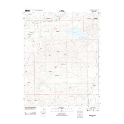
2013 Map of Basin Mountain
USGS Topo · Published 2013About this map
Lake Nighthorse and Ridges Basin dominate the northern landscape of this La Plata County survey, where the southwestern edge of Durango meets the steep topography of the San Juan Basin. The map details a complex water management system crucial to this high-desert environment, featuring the Animas River corridor and historical irrigation infrastructure like the Citizens Animas Ditch and E Mesa Ditch.
Find a feature on this map
70 named features on this map. Tap any name to fly to it.
Don’t see what you’re looking for? This feature index may not catch every label — zoom into the map to look around manually.
Map Details
Editions of this 2013 Basin Mountain Map
This is the sole edition of this map. No revisions or reprints were ever made.
Other maps of this area

1895 · La Plata
USGS Topo · 1:62,500

1897 · La Plata
USGS Topo · 1:62,500

1898 · Durango
USGS Topo · 1:62,500

1899 · La Plata
USGS Topo · 1:62,500

1907 · Durango
USGS Topo · 1:62,500

1908 · Ignacio
USGS Topo · 1:125,000

1908 · Durango
USGS Topo · 1:62,500

1908 · La Plata
USGS Topo · 1:62,500

1913 · Red Mesa
USGS Topo · 1:62,500

1924 · Ignacio
USGS Topo · 1:125,000