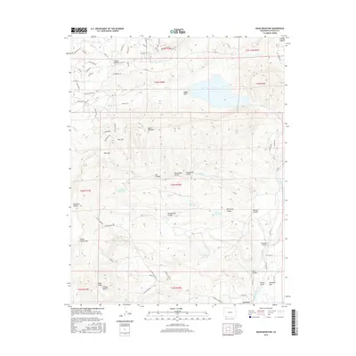
2016 Map of Basin Mountain
USGS Topo · Published 2016About this map
Basin Mountain and the high plateaus of southwest Colorado dominate this landscape, where the terrain is deeply incised by a series of drainage systems like Wildcat Canyon and La Posta Canyon. The small settlement of La Posta sits near the southern edge, situated along the Animas River corridor. This area showcases a sophisticated network of water management, evidenced by the Citizens Animas Ditch and several named catchments including Sullivan Reservoir and Goat Canyon Reservoir.
Find a feature on this map
79 named features on this map. Tap any name to fly to it.
Don’t see what you’re looking for? This feature index may not catch every label — zoom into the map to look around manually.
Map Details
Editions of this 2016 Basin Mountain Map
This is the sole edition of this map. No revisions or reprints were ever made.
Other maps of this area

1895 · La Plata
USGS Topo · 1:62,500

1897 · La Plata
USGS Topo · 1:62,500

1898 · Durango
USGS Topo · 1:62,500

1899 · La Plata
USGS Topo · 1:62,500

1907 · Durango
USGS Topo · 1:62,500

1908 · Ignacio
USGS Topo · 1:125,000

1908 · Durango
USGS Topo · 1:62,500

1908 · La Plata
USGS Topo · 1:62,500

1913 · Red Mesa
USGS Topo · 1:62,500

1924 · Ignacio
USGS Topo · 1:125,000