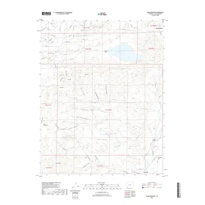
2019 Map of Basin Mountain
USGS Topo · Published 2019About this map
Durango anchors the northeastern corner of this 2019 survey, where the Animas River flows southward through the Colorado landscape. The terrain is defined by a series of dramatic geographic features, from the heights of Basin Mtn and Bridge Timber Mtn to the deeply carved drainage of Wildcat Canyon and McCullough Canyon. The presence of several localized water management features, such as McCullough Reservoir, Dads Reservoir, and the Citizens Animas Ditch, suggests a complex history of irrigation and resource management in this high-elevation environment.
Find a feature on this map
81 named features on this map. Tap any name to fly to it.
Don’t see what you’re looking for? This feature index may not catch every label — zoom into the map to look around manually.
Map Details
Editions of this 2019 Basin Mountain Map
This is the sole edition of this map. No revisions or reprints were ever made.
Other maps of this area

1895 · La Plata
USGS Topo · 1:62,500

1897 · La Plata
USGS Topo · 1:62,500

1898 · Durango
USGS Topo · 1:62,500

1899 · La Plata
USGS Topo · 1:62,500

1907 · Durango
USGS Topo · 1:62,500

1908 · Ignacio
USGS Topo · 1:125,000

1908 · Durango
USGS Topo · 1:62,500

1908 · La Plata
USGS Topo · 1:62,500

1913 · Red Mesa
USGS Topo · 1:62,500

1924 · Ignacio
USGS Topo · 1:125,000