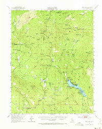
1953 Map of Bass Lake
USGS Topo · Published 1973About this map
The Sierra Nevada foothills and the Sierra National Forest are documented here in the early 1950s, centered on the burgeoning recreation and resource hub of Bass Lake. The map reveals a transition from traditional industry to seasonal tourism, where active mining sites like the Texas Flat Mine and Enterprise Mine contrast with the numerous developed campgrounds such as Denver Ch and Wishon Campground. The settlement of Oakhurst sits at a geographic crossroads near Fresno Flats, while the high country to the north shows the protected giant sequoias of Nelder Grove and the southern edge of Yosemite National Park. Local social infrastructure is visible through institutions like the Ahwahnee Sanatorium, Camp Santa Teresita, and the Nipinnawassee School. Further south, the map details the gold-mining heritage near Coarsegold and the scattered ranches and sites along the Fresno River.
Find a feature on this map
106 named features on this map. Tap any name to fly to it.
Don’t see what you’re looking for? This feature index may not catch every label — zoom into the map to look around manually.
Map Details
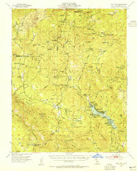
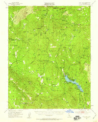
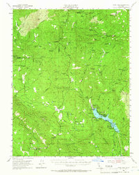
Editions of this 1953 Bass Lake Map
4 editions found
Other maps of this area

1897 · Yosemite
USGS Topo · 1:125,000

1900 · Yosemite
USGS Topo · 1:125,000

1901 · Mt. Lyell
USGS Topo · 1:125,000

1903 · Yosemite
USGS Topo · 1:125,000

1904 · Kaiser
USGS Topo · 1:125,000

1909 · Yosemite
USGS Topo · 1:125,000

1912 · Mariposa
USGS Topo · 1:125,000

1942 · Raymond
USGS Topo · 1:62,500

1942 · Millerton Lake
USGS Topo · 1:62,500

1944 · Raymond
USGS Topo · 1:62,500