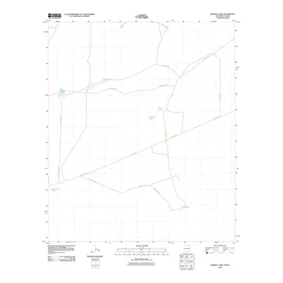
2010 Map of Bassett Lake
USGS Topo · Published 2010About this map
Bassett Lake sits as a primary water source in this arid stretch of Otero County, New Mexico, during the early 21st century. The landscape is defined by an extensive network of water catchment systems essential for livestock and ranching in this high-desert environment. These features, typically associated with family ranching operations, include Key Tank, Charley Tank, and the Camaleche Tanks situated near the western edge of the quadrangle.
Find a feature on this map
12 named features on this map. Tap any name to fly to it.
Don’t see what you’re looking for? This feature index may not catch every label — zoom into the map to look around manually.
Map Details
Editions of this 2010 Bassett Lake Map
This is the sole edition of this map. No revisions or reprints were ever made.
Other maps of this area

1903 · Cerro Alto
USGS Topo · 1:125,000

1940 · Bassett Lake
USGS Topo · 1:62,500

1941 · Heuco Mountains
USGS Topo · 1:62,500

1943 · San Antonio Mtn
USGS Topo · 1:62,500

1943 · Heuco Mountains
USGS Topo · 1:62,500

1943 · Bassett Lake
USGS Topo · 1:62,500

1954 · Carlsbad
USGS Topo · 1:250,000

1954 · Van Horn
USGS Topo · 1:250,000

1958 · Van Horn
USGS Topo · 1:250,000

1958 · Carlsbad
USGS Topo · 1:250,000