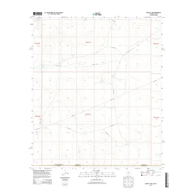
2013 Map of Bassett Lake
USGS Topo · Published 2013About this map
Bassett Lake sits at the heart of this arid landscape, serving as a primary water source along the state line where New Mexico and Texas meet. The terrain is defined by a sophisticated network of livestock tanks and catchment basins, including Escondido Tank, Charley Tank, and the Camaleche Tanks, which reflect the ranching heritage of Otero and Hudspeth counties. These water features are connected by a system of primitive routes such as Co Road f058 and Co Road f001, providing essential access across the high desert flats. The map illustrates how human activity in this border region has historically centered on water management and boundary navigation, with several family-named or location-specific basins like Whittaker Tank and Mixen Tank dotting the survey.
Find a feature on this map
15 named features on this map. Tap any name to fly to it.
Don’t see what you’re looking for? This feature index may not catch every label — zoom into the map to look around manually.
Map Details
Editions of this 2013 Bassett Lake Map
This is the sole edition of this map. No revisions or reprints were ever made.
Other maps of this area

1903 · Cerro Alto
USGS Topo · 1:125,000

1940 · Bassett Lake
USGS Topo · 1:62,500

1941 · Heuco Mountains
USGS Topo · 1:62,500

1943 · San Antonio Mtn
USGS Topo · 1:62,500

1943 · Heuco Mountains
USGS Topo · 1:62,500

1943 · Bassett Lake
USGS Topo · 1:62,500

1954 · Carlsbad
USGS Topo · 1:250,000

1954 · Van Horn
USGS Topo · 1:250,000

1958 · Van Horn
USGS Topo · 1:250,000

1958 · Carlsbad
USGS Topo · 1:250,000