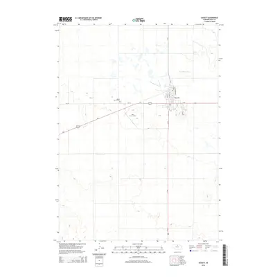
2014 Map of Bassett
USGS Topo · Published 2014About this map
The city of Bassett serves as a critical junction in north-central Nebraska, where the paths of Us-20, Us-183, and Ne-7 converge. This layout reflects the area's role as a regional transport hub, supported by the Rock County Airport located just west of the main settlement. The landscape north of town is defined by the winding course of the N Br Elkhorn River, while the town itself is structured around a traditional grid with streets such as Clark St, Panzer St, and Cannenburg Ave. Local community landmarks like Bassett Memorial Park and the long stretch of Cem Rd provide specific points of interest for those tracing the modern footprint of this plains community.
Find a feature on this map
14 named features on this map. Tap any name to fly to it.
Don’t see what you’re looking for? This feature index may not catch every label — zoom into the map to look around manually.
Map Details
Editions of this 2014 Bassett Map
This is the sole edition of this map. No revisions or reprints were ever made.
Other maps of this area

1949 · Riverview
USGS Topo · 1:24,000

1949 · Carns
USGS Topo · 1:24,000

1950 · Bassett NW
USGS Topo · 1:24,000

1950 · Carns
USGS Topo · 1:24,000

1950 · Riverview
USGS Topo · 1:24,000

1954 · Long Pine
USGS Topo · 1:24,000

1954 · Bassett
USGS Topo · 1:24,000

1954 · Newport SW
USGS Topo · 1:24,000

1955 · O'Neill
USGS Topo · 1:250,000

1959 · O'Neill
USGS Topo · 1:250,000