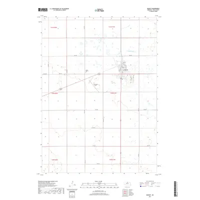
2017 Map of Bassett
USGS Topo · Published 2017About this map
Bassett serves as the primary hub of this north-central Nebraska landscape, where the local street grid intersects with the Cowboy Trl, reflecting the region's transition from a railroad-oriented economy to one of modern commerce and recreation. The northern reaches are defined by the meandering N Br Elkhorn River, while the southern landscape is organized by a strict section-line road system including 875th Rd and 448th Ave. Local infrastructure is concentrated around the town center, featuring the Po and the nearby Rock County Airport to the southwest. Residential development is evidenced by suburban-style naming conventions like Skyline Dr and Sunset Ter on the eastern edge of the settlement, contrasting with the expansive agricultural sections and the green space of Bassett Memorial Park.
Find a feature on this map
33 named features on this map. Tap any name to fly to it.
Don’t see what you’re looking for? This feature index may not catch every label — zoom into the map to look around manually.
Map Details
Editions of this 2017 Bassett Map
This is the sole edition of this map. No revisions or reprints were ever made.
Other maps of this area

1949 · Riverview
USGS Topo · 1:24,000

1949 · Carns
USGS Topo · 1:24,000

1950 · Bassett NW
USGS Topo · 1:24,000

1950 · Carns
USGS Topo · 1:24,000

1950 · Riverview
USGS Topo · 1:24,000

1954 · Long Pine
USGS Topo · 1:24,000

1954 · Bassett
USGS Topo · 1:24,000

1954 · Newport SW
USGS Topo · 1:24,000

1955 · O'Neill
USGS Topo · 1:250,000

1959 · O'Neill
USGS Topo · 1:250,000