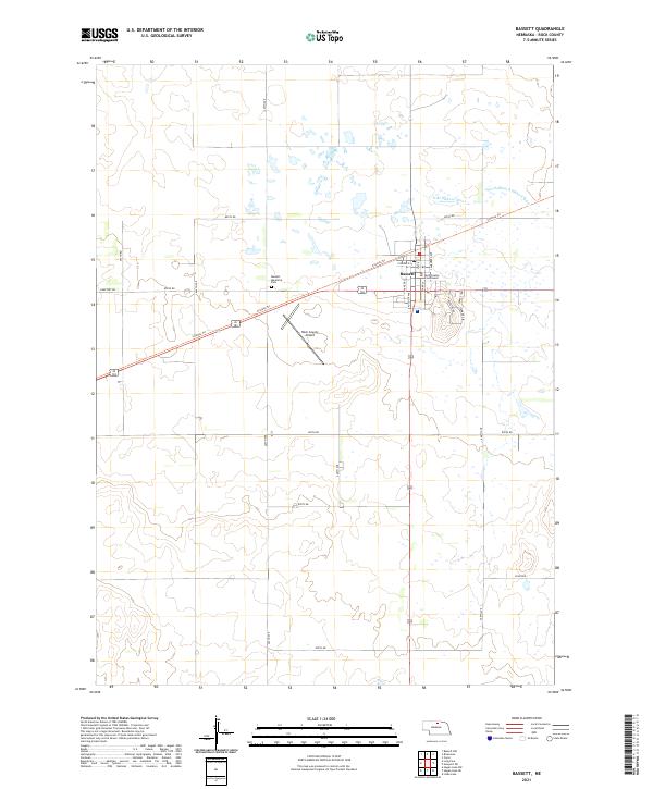
2021 Map of Bassett
USGS Topo · Published 2021About this map
Bassett serves as the focal point of this Rock County landscape, centered around the Rock County Courthouse and a grid of residential streets like Florence St and Augusta Ave. The town is bisected by the Cowboy Trl, a recreational path following an old rail corridor that historically linked these prairie communities. Just outside the main settlement, the Rock County Airport and Bassett Memorial Park mark the transition into a vast agricultural and wetland environment. To the north, the North Branch Elkhorn River winds through the section lines, defining the local drainage and terrain. The map's detailed road network, including Cemetery Rd and 881st Rd, reveals the enduring structural layout of the Nebraska Sandhills region, where section-line roads separate expansive tracts of land used for ranching and farming.
Find a feature on this map
34 named features on this map. Tap any name to fly to it.
Don’t see what you’re looking for? This feature index may not catch every label — zoom into the map to look around manually.
Map Details
Editions of this 2021 Bassett Map
This is the sole edition of this map. No revisions or reprints were ever made.
Other maps of this area

1949 · Riverview
USGS Topo · 1:24,000

1949 · Carns
USGS Topo · 1:24,000

1950 · Bassett NW
USGS Topo · 1:24,000

1950 · Carns
USGS Topo · 1:24,000

1950 · Riverview
USGS Topo · 1:24,000

1954 · Long Pine
USGS Topo · 1:24,000

1954 · Bassett
USGS Topo · 1:24,000

1954 · Newport SW
USGS Topo · 1:24,000

1955 · O'Neill
USGS Topo · 1:250,000

1959 · O'Neill
USGS Topo · 1:250,000