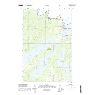
2019 Map of Basswood Lake West
USGS Topo · Published 2019About this map
The international boundary between Canada and the United States cuts through this portion of the Superior National Forest, defining a landscape where water and land are inextricably linked. The map illustrates a complex network of island-dotted waters, including the expansive Basswood Lake and its various reaches like Pipestone Bay and Jackfish Bay. These water bodies are connected by significant falls and narrow passages, such as Wheelbarrow Falls, Basswood Falls, and the Lewis Narrows.
Find a feature on this map
28 named features on this map. Tap any name to fly to it.
Don’t see what you’re looking for? This feature index may not catch every label — zoom into the map to look around manually.
Map Details
Editions of this 2019 Basswood Lake West Map
This is the sole edition of this map. No revisions or reprints were ever made.
Other maps of this area

1933 · Ely
USGS Topo · 1:62,500

1939 · Ely
USGS Topo · 1:62,500

1954 · Two Harbors
USGS Topo · 1:250,000

1957 · Two Harbors
USGS Topo · 1:250,000

1957 · Gabbro Lake
USGS Topo · 1:62,500

1957 · Basswood Lake
USGS Topo · 1:62,500

1957 · Quetico
USGS Topo · 1:250,000

1958 · Two Harbors
USGS Topo · 1:250,000

1963 · Fourtown Lake
USGS Topo · 1:24,000
1963 · Friday Bay
USGS Topo · 1:24,000