
1957 Map of Gabbro Lake
USGS Topo · Published 1959About this map
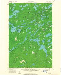
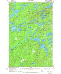
Superior National Forest dominates this mid-century wilderness survey, revealing an intricate network of waterways before the modern era of heavy recreation. The landscape is defined by its dramatic hydrology, from the Upper Pipestone Falls near Newton Lake to the scattered control structures like Dam No 1 and Dam No 2. These dams and the Gaging Station located along the river systems reflect early water management and monitoring efforts within the forest boundaries. The map captures the area as a working wilderness, where isolated Gravel Pits provided materials for forest roads, and established locations like the South Kawishiwi River Camp served as early hubs for forestry or exploration. Dozens of distinct water bodies, including Moose Lake, Ella Hall Lake, and Camp Twenty Lake, are mapped with precision, highlighting the glacial character of the terrain during the late 1950s.
Find a feature on this map
81 named features on this map. Tap any name to fly to it.
Don’t see what you’re looking for? This feature index may not catch every label — zoom into the map to look around manually.
Map Details
Editions of this 1957 Gabbro Lake Map
3 editions found
Other maps of this area

1933 · Ely
USGS Topo · 1:62,500

1939 · Ely
USGS Topo · 1:62,500

1952 · Babbitt NE
USGS Topo · 1:24,000

1954 · Greenwood Lake
USGS Topo · 1:62,500

1954 · Two Harbors
USGS Topo · 1:250,000

1955 · Isabella
USGS Topo · 1:62,500

1957 · Two Harbors
USGS Topo · 1:250,000

1957 · Ensign Lake
USGS Topo · 1:62,500

1957 · Basswood Lake
USGS Topo · 1:62,500

1957 · Quetico
USGS Topo · 1:250,000