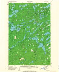
1957 Map of Gabbro Lake
USGS Topo · Published 1962About this map
The Superior National Forest dominates this landscape, defined by an intricate network of interconnected waterways and wilderness lakes in northern Minnesota. Significant hydrologic features like Fall Lake, Farm Lake, and Garden Lake are joined by the winding Kawishiwi River. The map reveals the early management of these waters, showing timber-era infrastructure like Dam No 1 and Dam No 2 alongside the Gaging Station and the South Kawishiwi River Camp. These markers of human presence are secondary to the vast glacial lake system, which includes prominent landmarks such as Mile Island and the turbulent Upper Pipestone Falls. The survey documents the area as a primary gateway to the northern woods, where recreation and water management were beginning to shape the contemporary character of the forest.
Find a feature on this map
84 named features on this map. Tap any name to fly to it.
Don’t see what you’re looking for? This feature index may not catch every label — zoom into the map to look around manually.
Map Details
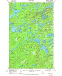
Editions of this 1957 Gabbro Lake Map
3 editions found
Other maps of this area

1933 · Ely
USGS Topo · 1:62,500

1939 · Ely
USGS Topo · 1:62,500

1952 · Babbitt NE
USGS Topo · 1:24,000

1954 · Greenwood Lake
USGS Topo · 1:62,500

1954 · Two Harbors
USGS Topo · 1:250,000

1955 · Isabella
USGS Topo · 1:62,500

1957 · Two Harbors
USGS Topo · 1:250,000

1957 · Gabbro Lake
USGS Topo · 1:62,500

1957 · Ensign Lake
USGS Topo · 1:62,500

1957 · Basswood Lake
USGS Topo · 1:62,500