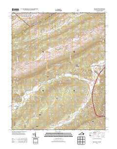
2013 Map of Bastian
USGS Topo · Published 2013About this map
Bastian serves as a central point of reference in this 2013 topographic study, situated where Hunting Camp Cr meets Wolf Cr. The settlement patterns here follow the natural drainage of the Appalachians, with small communities like Byron, Hicksville, and Stowersville established along the winding paths of Clear Fork and its tributaries. The landscape is dominated by significant elevations such as Round Mountain and Big Ridge, which dictate the corridors for local transit and recreation.
Find a feature on this map
32 named features on this map. Tap any name to fly to it.
Don’t see what you’re looking for? This feature index may not catch every label — zoom into the map to look around manually.
Map Details
Editions of this 2013 Bastian Map
This is the sole edition of this map. No revisions or reprints were ever made.
Other maps of this area

1887 · Pocahontas
USGS Topo · 1:125,000

1891 · Pocahontas
USGS Topo · 1:125,000

1894 · Pocahontas
USGS Topo · 1:125,000

1895 · Pocahontas
USGS Topo · 1:125,000

1909 · Pocahontas Special
USGS Topo · 1:48,000

1911 · Pocahontas Special
USGS Topo · 1:62,500

1913 · Bluefield
USGS Topo · 1:48,000

1916 · Bluefield
USGS Topo · 1:62,500

1924 · Bramwell
USGS Topo · 1:62,500

1924 · Bluefield
USGS Topo · 1:62,500