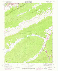
1968 Map of Bastian
USGS Topo · Published 1978About this map
Jefferson National Forest dominates this section of the Appalachian landscape, where the dramatic ridgelines of East River Mountain and Buckhorn Mountain define the border between Virginia and West Virginia. In the north, the urban expansion of Bluefield and South Bluefield reaches toward the Beaver Pond area, anchored by Bluefield College and Bowen Field. The topography transitions from these developed valley floors into the steep, parallel ridges characteristic of the Ridge-and-Valley province.
Find a feature on this map
40 named features on this map. Tap any name to fly to it.
Don’t see what you’re looking for? This feature index may not catch every label — zoom into the map to look around manually.
Map Details
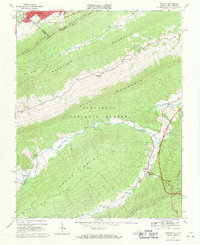
Editions of this 1968 Bastian Map
2 editions found
Other maps of this area

1887 · Pocahontas
USGS Topo · 1:125,000

1891 · Pocahontas
USGS Topo · 1:125,000

1894 · Pocahontas
USGS Topo · 1:125,000

1895 · Pocahontas
USGS Topo · 1:125,000

1909 · Pocahontas Special
USGS Topo · 1:48,000

1911 · Pocahontas Special
USGS Topo · 1:62,500

1913 · Bluefield
USGS Topo · 1:48,000

1916 · Bluefield
USGS Topo · 1:62,500

1924 · Bramwell
USGS Topo · 1:62,500

1924 · Bluefield
USGS Topo · 1:62,500