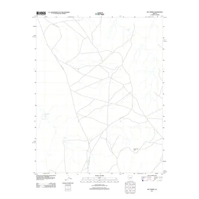
2011 Map of Bat Spring
USGS Topo · Published 2011About this map
Bat Spring serves as a vital water source in this high-desert landscape of Coconino County, where the terrain is defined by its drainage patterns and prominent geological features. The 2011 topography reveals a sparse but interconnected network of routes, most notably Indian Rte 6660 and Indian Rte 7, which navigate the elevation changes near Rough Rock Point. These roads link various isolated water points across the plateau, including Willow Spring to the north and the clustered Badger Spring and Lower Badger Spring to the west. This mapping reflects the modern infrastructure managed within the region, providing a clear record of the intersection between natural springs and the established transportation corridors that have long dictated movement through this arid environment.
Find a feature on this map
7 named features on this map. Tap any name to fly to it.
Don’t see what you’re looking for? This feature index may not catch every label — zoom into the map to look around manually.
Map Details
Editions of this 2011 Bat Spring Map
This is the sole edition of this map. No revisions or reprints were ever made.
Other maps of this area

1883 · Marsh Pass
USGS Topo · 1:250,000

1883 · Tusayan
USGS Topo · 1:250,000

1886 · Tusayan
USGS Topo · 1:250,000

1892 · Marsh Pass
USGS Topo · 1:250,000

1947 · Flagstaff
USGS Topo · 1:250,000

1954 · Flagstaff
USGS Topo · 1:250,000

1956 · Marble Canyon
USGS Topo · 1:250,000

1958 · Flagstaff
USGS Topo · 1:250,000

1959 · Marble Canyon
USGS Topo · 1:250,000

1960 · Flagstaff
USGS Topo · 1:250,000