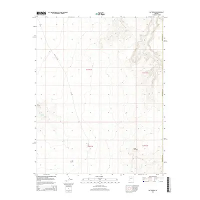
2014 Map of Bat Spring
USGS Topo · Published 2014About this map
Bat Canyon carves through this Coconino County landscape, where water sources were critical to the development of the region. This 2014 survey documents a network of vital desert seeps including Bat Spring, Badger Spring, and Lower Badger Spring. The map captures the intersection of traditional paths and modern transportation, featuring Bureau of Indian Affairs routes like Bia-6240 and Bia-4660 that navigate the high mesas. High ground is marked by Rough Rock Point and the surrounding ridgelines that define the drainage towards Willow Spring to the north. These features illustrate the enduring importance of natural springs in a high-elevation arid environment, serving as the primary landmarks in an area dominated by canyon topography and the structured boundaries of the Public Land Survey System.
Find a feature on this map
13 named features on this map. Tap any name to fly to it.
Don’t see what you’re looking for? This feature index may not catch every label — zoom into the map to look around manually.
Map Details
Editions of this 2014 Bat Spring Map
This is the sole edition of this map. No revisions or reprints were ever made.
Other maps of this area

1883 · Marsh Pass
USGS Topo · 1:250,000

1883 · Tusayan
USGS Topo · 1:250,000

1886 · Tusayan
USGS Topo · 1:250,000

1892 · Marsh Pass
USGS Topo · 1:250,000

1947 · Flagstaff
USGS Topo · 1:250,000

1954 · Flagstaff
USGS Topo · 1:250,000

1956 · Marble Canyon
USGS Topo · 1:250,000

1958 · Flagstaff
USGS Topo · 1:250,000

1959 · Marble Canyon
USGS Topo · 1:250,000

1960 · Flagstaff
USGS Topo · 1:250,000