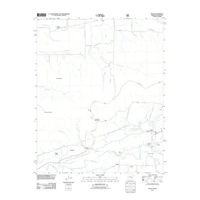
2011 Map of Bates
USGS Topo · Published 2011About this map
Bates and Coaldale sit along the western edge of Arkansas, where the Poteau River and its numerous tributaries shape the rural landscape. This early 21st-century survey documents a collection of small communities including Gipson, Weeks, and Hiawatha, many of which are linked by historic tracks like Black Ford Rd and Strip Pit Rd. The map offers significant value for genealogists, as it clearly locates several family and community burial grounds such as Black Cemetery, Gipson Cemetery, and Weeks Cemetery. Industrial and transport history is noted through features like the Mill Race near the Slough Bridge and the Trestle Ford on Sugarloaf Creek. The presence of the Bates Post Office and various named terrain features like Henderson Mill Hollow and Cowskin Ridge provides a detailed view of the local geography at the turn of the decade.
Find a feature on this map
54 named features on this map. Tap any name to fly to it.
Don’t see what you’re looking for? This feature index may not catch every label — zoom into the map to look around manually.
Map Details
Editions of this 2011 Bates Map
This is the sole edition of this map. No revisions or reprints were ever made.
Other maps of this area

1887 · Poteau Mountain #2
USGS Topo · 1:62,500

1887 · Greenwood
USGS Topo · 1:62,500

1890 · Fort Smith
USGS Topo · 1:125,000

1890 · Poteau Mountain
USGS Topo · 1:125,000

1899 · Poteau Mountain
USGS Topo · 1:125,000

1900 · Sallisaw
USGS Topo · 1:125,000

1900 · Winding Stair
USGS Topo · 1:125,000

1909 · Winding Stair
USGS Topo · 1:125,000

1911 · Sallisaw
USGS Topo · 1:125,000

1943 · Fort Smith
USGS Topo · 1:125,000