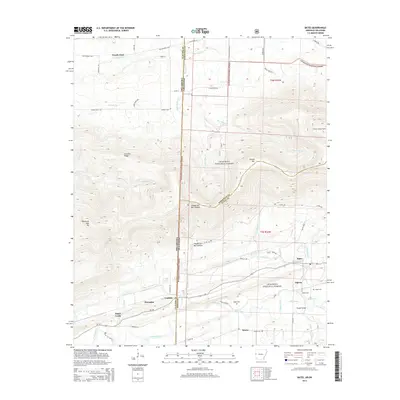
2014 Map of Bates
USGS Topo · Published 2014About this map
Poteau Mtn dominates the high ground along the Arkansas and Oklahoma border, where the Ouachita National Forest meets small valley settlements. The landscape transitions from the heights of Cowskin Ridge and Oklahoma High Top down to the drainage basin of the Poteau River. Human presence is marked by a network of rural routes like Black Ford Rd and Old Monroe Hwy, connecting isolated communities such as Bates, Gipson, and Weeks. This 2014 survey reveals a land shaped by both natural features and agricultural history, with numerous family and community burial grounds including Gipson Cem, Weeks Cem, and Sliger Cem preserved in the valley floors. In the southern reach, the Poteau River meanders near the Slough Bridge, while the higher elevations are monitored from the Poteau Lookout Tower.
Find a feature on this map
62 named features on this map. Tap any name to fly to it.
Don’t see what you’re looking for? This feature index may not catch every label — zoom into the map to look around manually.
Map Details
Editions of this 2014 Bates Map
This is the sole edition of this map. No revisions or reprints were ever made.
Other maps of this area

1887 · Poteau Mountain #2
USGS Topo · 1:62,500

1887 · Greenwood
USGS Topo · 1:62,500

1890 · Fort Smith
USGS Topo · 1:125,000

1890 · Poteau Mountain
USGS Topo · 1:125,000

1899 · Poteau Mountain
USGS Topo · 1:125,000

1900 · Sallisaw
USGS Topo · 1:125,000

1900 · Winding Stair
USGS Topo · 1:125,000

1909 · Winding Stair
USGS Topo · 1:125,000

1911 · Sallisaw
USGS Topo · 1:125,000

1943 · Fort Smith
USGS Topo · 1:125,000