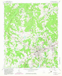
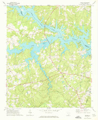
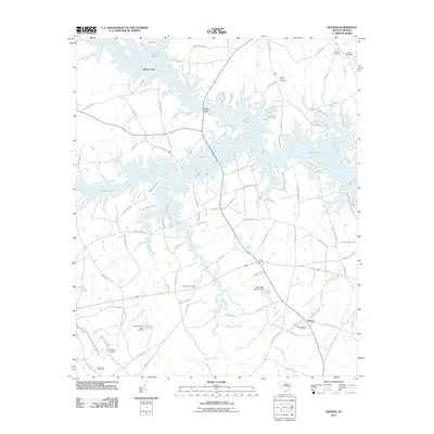
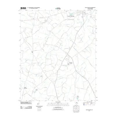
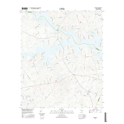
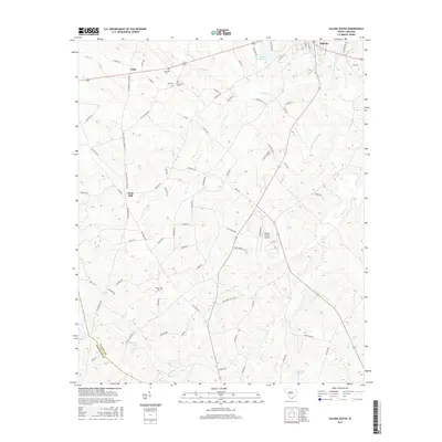
1964 Map of Batesburg
USGS Topo · Published 1982About this map
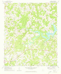
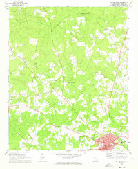
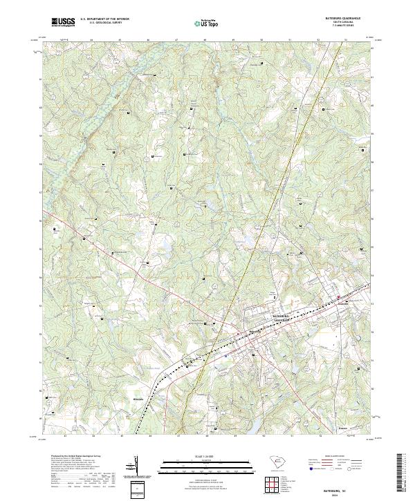
Batesburg and Leesville dominate this mid-century survey, illustrating the distinct side-by-side growth of these twin towns along the Southern railroad line. The landscape is heavily marked by family-named landmarks and rural congregations, reflecting a deeply rooted community structure across the tri-county border of Saluda, Lexington, and Aiken. Notable religious and commemorative sites like St Johns Ch, Wittenberg Cem, and Shady Grove Ch are scattered among the ridges, including the prominent Devils Backbone.
Find a feature on this map
84 named features on this map. Tap any name to fly to it.
Don’t see what you’re looking for? This feature index may not catch every label — zoom into the map to look around manually.
Map Details
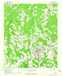
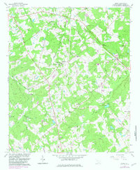
Editions of this 1964 Batesburg Map
2 editions found
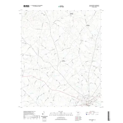
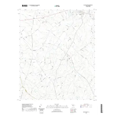
Historical Maps of Hibernia Through Time
36 maps found
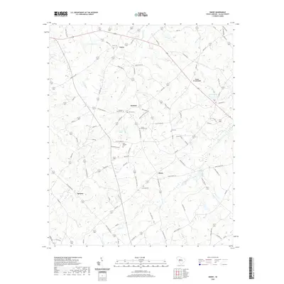
1964 Batesburg
Saluda County, SC
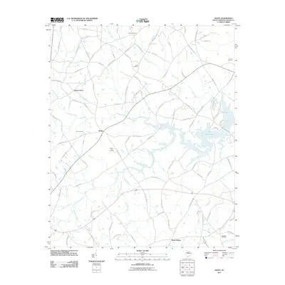
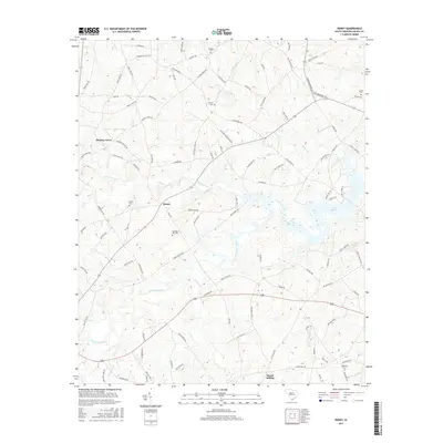
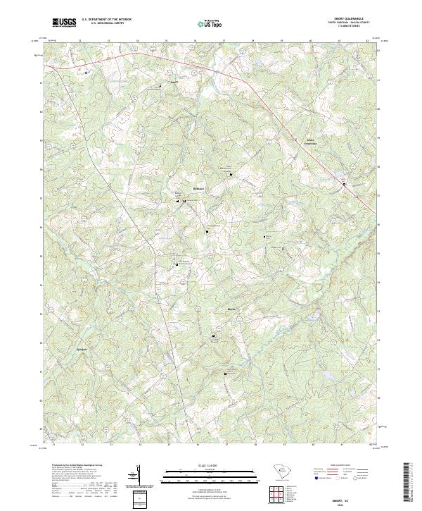
1964 Emory
Saluda County, SC
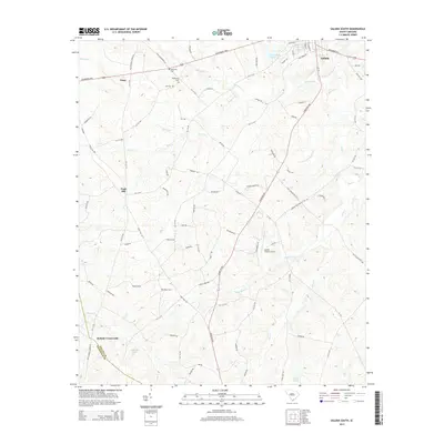
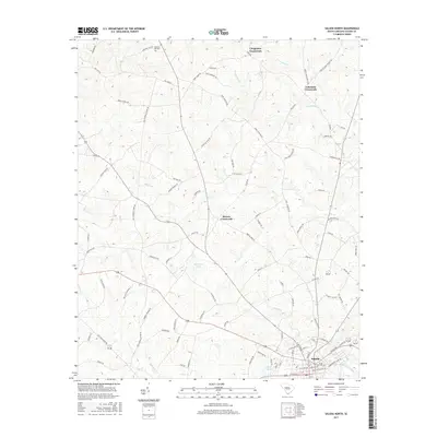
1964 Saluda South
Saluda County, SC
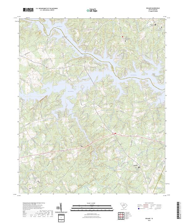
1970 Delmar
Saluda County, SC
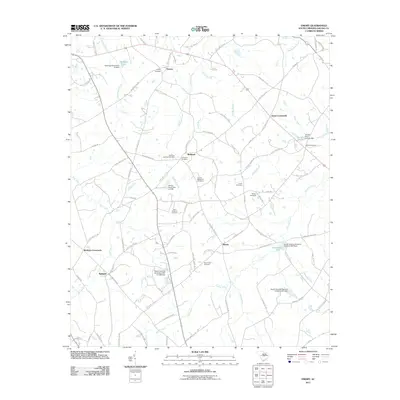
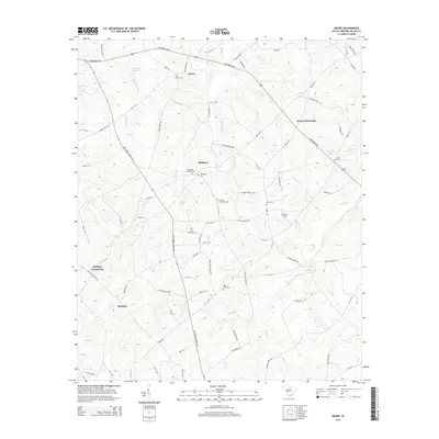
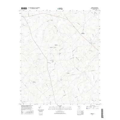
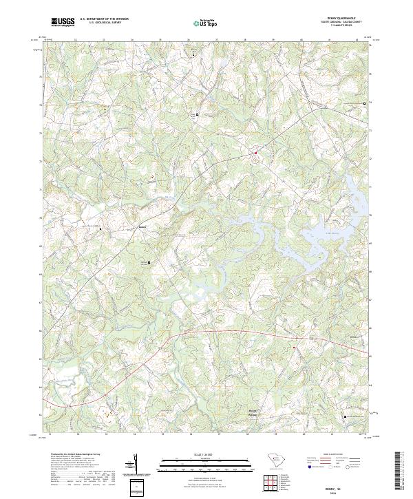
1971 Denny
Saluda County, SC
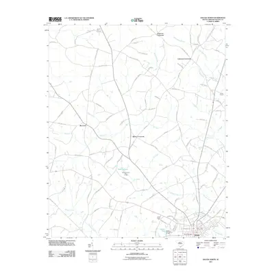
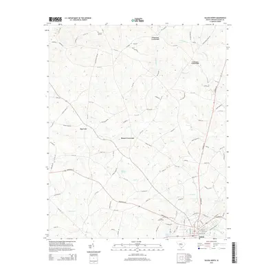
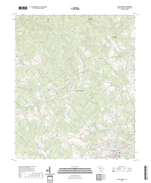
1971 Saluda North
Saluda County, SC
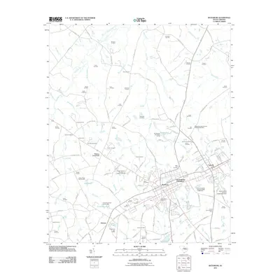
2011 Batesburg
Saluda County, SC
2011 Delmar
Saluda County, SC
2011 Denny
Saluda County, SC
2011 Emory
Saluda County, SC
2011 Saluda North
Saluda County, SC
2011 Saluda South
Saluda County, SC
2014 Batesburg
Saluda County, SC
2014 Delmar
Saluda County, SC
2014 Denny
Saluda County, SC
2014 Emory
Saluda County, SC
2014 Saluda North
Saluda County, SC
2014 Saluda South
Saluda County, SC
2017 Batesburg
Saluda County, SC
2017 Delmar
Saluda County, SC
2017 Denny
Saluda County, SC
2017 Emory
Saluda County, SC
2017 Saluda North
Saluda County, SC
2017 Saluda South
Saluda County, SC
2020 Batesburg
Saluda County, SC
2020 Delmar
Saluda County, SC
2020 Denny
Saluda County, SC
2020 Emory
Saluda County, SC
2020 Saluda North
Saluda County, SC
2020 Saluda South
Saluda County, SC
2024 Batesburg
Saluda County, SC
2024 Delmar
Saluda County, SC
2024 Denny
Saluda County, SC
2024 Emory
Saluda County, SC
2024 Saluda North
Saluda County, SC
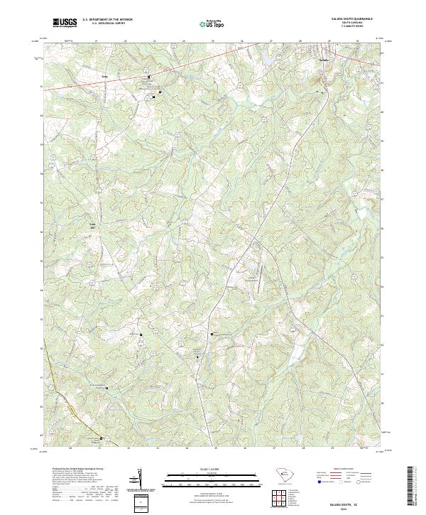
2024 Saluda South
Saluda County, SC
Featured Locations
- Hibernia, SC
- Holston Crossroads, SC
- Batesburg-Leesville, SC
- Batesburg, Batesburg-Leesville
- Leesville, Batesburg-Leesville