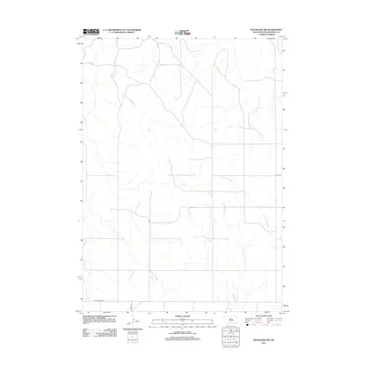
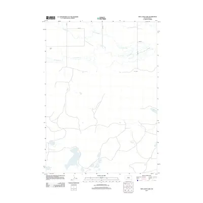
2012 Map of Batesland NW
USGS Topo · Published 2012About this map
The Little White River and Stinking Water Cr meander through this section of the Pine Ridge region, defining the drainage patterns of an open, high-plains landscape. This 2012 survey by the U.S. Geological Survey captures the rural infrastructure of Oglala Lakota County, where long-distance routes like Gordon Rd and Mouse Creek Rd provide the primary connectivity across the terrain. To the northwest and southwest, American Horse Cr and Porcupine Cr navigate the subtle shifts in elevation, illustrating the hydrologic network that has historically supported ranching and local movement in this part of South Dakota. The map detail highlights the sparse settlement pattern, with section-line roads such as 291st St providing the only rectilinear breaks in a landscape dominated by natural watercourses.
Find a feature on this map
7 named features on this map. Tap any name to fly to it.
Don’t see what you’re looking for? This feature index may not catch every label — zoom into the map to look around manually.
Map Details
Editions of this 2012 Batesland NW Map
This is the sole edition of this map. No revisions or reprints were ever made.
Other maps of this area

1955 · Hot Springs
USGS Topo · 1:250,000

1967 · Wounded Knee
USGS Topo · 1:24,000

1967 · Denby
USGS Topo · 1:24,000
1981 · Wakpamani
USGS Topo · 1:25,000

1981 · Yellow Bear Camp
USGS Topo · 1:25,000

1981 · Evergreen
USGS Topo · 1:25,000
1981 · Batesland
USGS Topo · 1:25,000

1985 · Pine Ridge
USGS Topo · 1:100,000
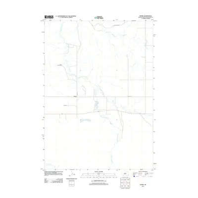
2012 · Denby
USGS Topo · 1:24,000
2012 · Two Lance Lake
USGS Topo · 1:24,000