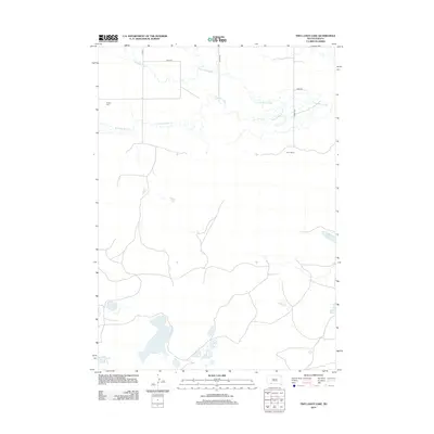
2012 Map of Two Lance Lake
USGS Topo · Published 2012About this map
Little White River meanders across the northern portion of this landscape, carving a drainage system that includes the aptly named Stinking Water Cr. This 2012 survey illustrates the sparse, high-plains settlement pattern of Oglala Lakota County, where vast distances separate individual landmarks. Human presence is concentrated at the Kocer Ranch and the isolated Knight Cem near the river bluffs. To the south, the terrain is characterized by numerous basins and water bodies, most notably the expansive Alkali Lake and its smaller counterparts like Two Lance Lake, Ross Lake, and Posey Lake. The map reveals a minimal road network, primarily consisting of numbered routes like 296th St and named arteries such as Ash St, reflecting the remote nature of this prairie environment.
Find a feature on this map
13 named features on this map. Tap any name to fly to it.
Don’t see what you’re looking for? This feature index may not catch every label — zoom into the map to look around manually.
Map Details
Editions of this 2012 Two Lance Lake Map
This is the sole edition of this map. No revisions or reprints were ever made.
Other maps of this area

1950 · Irwin
USGS Topo · 1:62,500

1951 · Irwin
USGS Topo · 1:62,500

1955 · Hot Springs
USGS Topo · 1:250,000

1955 · Alliance
USGS Topo · 1:250,000

1955 · Martin
USGS Topo · 1:250,000

1957 · Alliance
USGS Topo · 1:250,000

1957 · Valentine
USGS Topo · 1:250,000

1958 · Martin
USGS Topo · 1:250,000

1958 · Alliance
USGS Topo · 1:250,000

1959 · Valentine
USGS Topo · 1:250,000