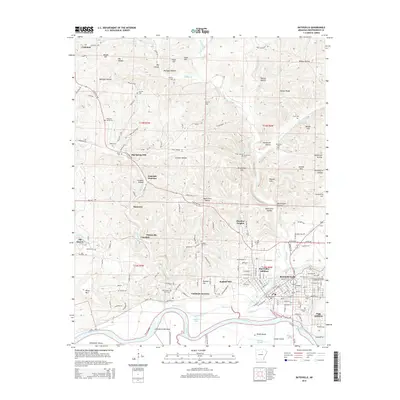
2014 Map of Batesville
USGS Topo · Published 2014About this map
Batesville sits at a geographic pivot point where the Ozark foothills meet the alluvial plains of the White River. This 2014 survey captures the city's established industrial and educational footprint, featuring both Lyon Coll and the Univ of Arkansas Community College-Batesville. The landscape to the north and west is defined by a dense network of hollows and ridges, including Mulligan Hollow and Nelson Ridge, while the river south of the city center encircles Brush Island and Luster Island.
Find a feature on this map
167 named features on this map. Tap any name to fly to it.
Don’t see what you’re looking for? This feature index may not catch every label — zoom into the map to look around manually.
Map Details
Editions of this 2014 Batesville Map
This is the sole edition of this map. No revisions or reprints were ever made.
Other maps of this area

1890 · Batesville
USGS Topo · 1:125,000

1891 · Batesville
USGS Topo · 1:125,000

1942 · Bethesda
USGS Topo · 1:24,000

1942 · Jamestown
USGS Topo · 1:31,680

1942 · Almond
USGS Topo · 1:31,680

1942 · Salado
USGS Topo · 1:31,680

1942 · Batesville
USGS Topo · 1:31,680

1942 · Mt Pleasant
USGS Topo · 1:31,680

1943 · Sandtown
USGS Topo · 1:24,000

1943 · Cave City
USGS Topo · 1:31,680