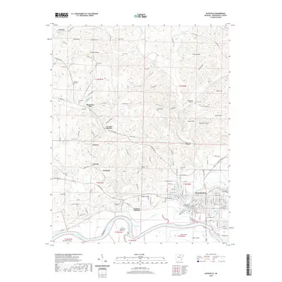
2020 Map of Batesville
USGS Topo · Published 2020About this map
Batesville serves as the focal point of this Independence County landscape, situated where the White River meets the winding Poke Bayou. The town's historic core is anchored by the Independence County Courthouse and the campus of Lyon College, while residential and commercial expansion stretches toward Cushman Junction and Limedale Junction. The surrounding terrain is defined by a series of hollows and ridges, such as Bone Cave Hollow and Nelson Ridge, which have historically shaped the local road network and settlement patterns.
Find a feature on this map
168 named features on this map. Tap any name to fly to it.
Don’t see what you’re looking for? This feature index may not catch every label — zoom into the map to look around manually.
Map Details
Editions of this 2020 Batesville Map
This is the sole edition of this map. No revisions or reprints were ever made.
Other maps of this area

1890 · Batesville
USGS Topo · 1:125,000

1891 · Batesville
USGS Topo · 1:125,000

1942 · Bethesda
USGS Topo · 1:24,000

1942 · Jamestown
USGS Topo · 1:31,680

1942 · Almond
USGS Topo · 1:31,680

1942 · Salado
USGS Topo · 1:31,680

1942 · Batesville
USGS Topo · 1:31,680

1942 · Mt Pleasant
USGS Topo · 1:31,680

1943 · Sandtown
USGS Topo · 1:24,000

1943 · Cave City
USGS Topo · 1:31,680